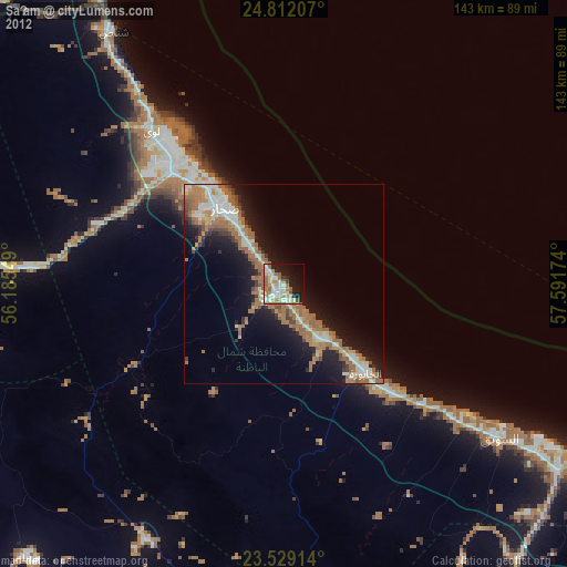
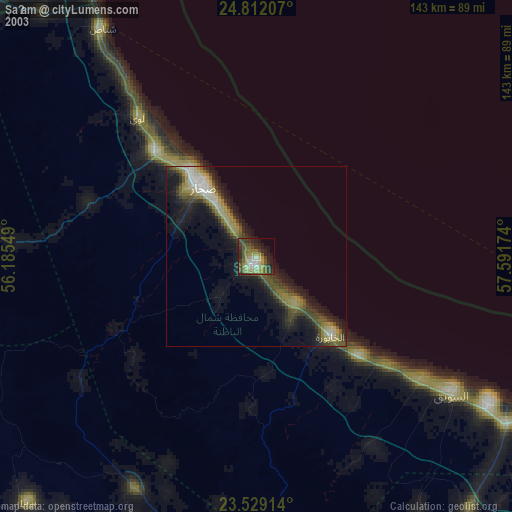
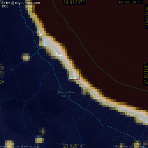
Şaḩam night lights from space
Night Light of Şaḩam (Al Batinah North) from space (Oman) Src. Average luminocity for 10x10km area is 49.1591% and for 50x50km: 17.2243%.
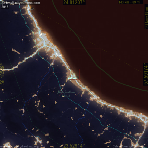
Analysis of Şaḩam night lights 2016
Square area 10x10 km:
 6.63%
6.63%90-99
9.47%80-89
8.14%70-79
4.17%60-69
9.47%50-59
17.05%40-49
2.08%30-39
3.79%20-29
11.74%10-19
17.61%0-9
9.85%Square area 50x50 km:
2.06%90-99
2.73%80-89
1.25%70-79
1.55%60-69
4.01%50-59
5.78%40-49
1.37%30-39
2.06%20-29
4.86%10-19
10.37%0-9
63.95%Clear (daylight) street map image can be seen on geolist.org.
Map coordinates:
24° 48' 43.5" North, 56° 11' 7.8" East
24° 10' 20" North, 56° 53' 19" East
23° 31' 44.9" North, 57° 35' 30.3" East
Some cities around Şaḩam sort by population:
• Sohar
26.6 km =16.5 mi,  316°
316°
• As Suwayq
66.4 km =41.3 mi,  122°
122°
• Rustaq
102.6 km =63.8 mi,  147°
147°
• Al Khābūrah
30.5 km =19 mi,  137°
137°
• Shināş
76.4 km =47.5 mi,  326°
326°
• Liwá
51.7 km =32.1 mi, 320°
• Oman Smart Future City
92.5 km =57.5 mi,  128°
128°
• Yanqul
74.2 km =46.1 mi,  208°
208°
286647 (p: 89,327)
Sources (retrieved 2019-11-25):
» NASA, Earths city lights 1995
» NASA city lights 2003
» Earth at Night: Flat Maps 2012, 2016