Al Fujairah City night lights from space
Night Light of Al Fujairah City (Fujairah) from space (United Arab Emirates) Src. Average luminocity for 10x10km area is 76.5152% and for 50x50km: 25.147%.
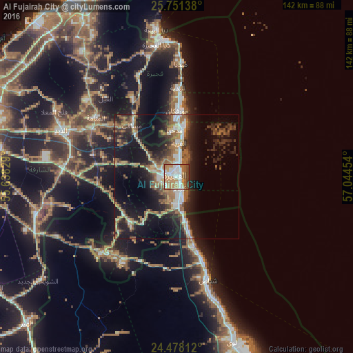
Analysis of Al Fujairah City night lights 2016
Square area 10x10 km:
 18.94%
90-99
20.27%80-89
5.49%70-79
15.15%60-69
19.7%50-59
7.95%40-49
7.58%30-39
4.55%20-29
0.38%10-19
0%0-9
0%Square area 50x50 km:
2.96%90-99
3.73%80-89
2.29%70-79
2.6%60-69
5.4%50-59
4.86%40-49
3.19%30-39
4.78%20-29
7.89%10-19
18.67%0-9
43.63%Clear (daylight) street map image can be seen on geolist.org.
Map coordinates:
25° 45' 5" North, 55° 38' 17.8" East
25° 6' 59.1" North, 56° 20' 29.1" East
24° 28' 41.2" North, 57° 2' 40.3" East
Some cities around Al Fujairah City sort by population:
• Ras Al Khaimah City
84.9 km =52.8 mi,  331°
331°
• Reef Al Fujairah City
10 km =6.2 mi,  288°
288°
• Shināş, OM
43.4 km =27 mi,  163°
163°
• Khawr Fakkān
23.9 km =14.9 mi,  0°
0°
• Dibba Al-Fujairah
53.5 km =33.2 mi,  351°
351°
• Dibba Al-Hisn
56.4 km =35 mi, 352°
• Liwá, OM
68.8 km =42.8 mi, 161°
• Adh Dhayd
50 km =31.1 mi, 292°
292878 (p: 86,512)
Sources (retrieved 2019-11-25):
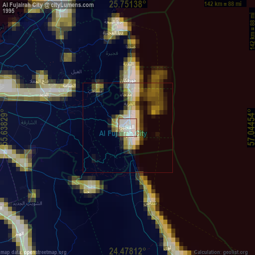
» NASA, Earths city lights 1995
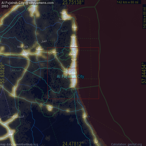
» NASA city lights 2003
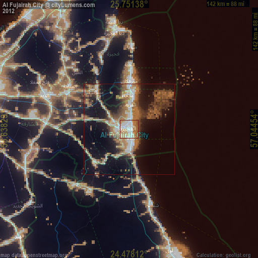
» Earth at Night: Flat Maps 2012, 2016