Shināş night lights from space
Night Light of Shināş (Al Batinah North) from space (Oman) Src. Average luminocity for 10x10km area is 46.5099% and for 50x50km: 13.0243%.
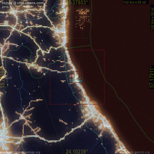
Analysis of Shināş night lights 2016
Square area 10x10 km:
 7.54%
7.54%90-99
10.12%80-89
1.98%70-79
4.96%60-69
9.33%50-59
11.71%40-49
2.38%30-39
7.74%20-29
19.84%10-19
19.25%0-9
5.16%Square area 50x50 km:
1.51%90-99
1.88%80-89
0.99%70-79
0.8%60-69
2.61%50-59
3.29%40-49
1.31%30-39
2.35%20-29
4.3%10-19
10.64%0-9
70.31%Clear (daylight) street map image can be seen on geolist.org.
Map coordinates:
25° 22' 46.3" North, 55° 45' 49.9" East
24° 44' 33.4" North, 56° 28' 1.1" East
24° 6' 8.6" North, 57° 10' 12.4" East
Some cities around Shināş sort by population:
• Sohar
50.3 km =31.3 mi,  150°
150°
• Şaḩam
76.4 km =47.5 mi, 146°
• Al Fujairah City, AE
43.4 km =27 mi,  343°
343°
• Reef Al Fujairah City, AE
49.9 km =31 mi,  333°
333°
• Al Buraymī
87.4 km =54.3 mi,  231°
231°
• Khawr Fakkān, AE
66.7 km =41.4 mi,  349°
349°
• Liwá
25.5 km =15.8 mi,  157°
157°
• Adh Dhayd, AE
84.6 km =52.6 mi,  315°
315°
286402 (p: 48,009)
Sources (retrieved 2019-11-25):
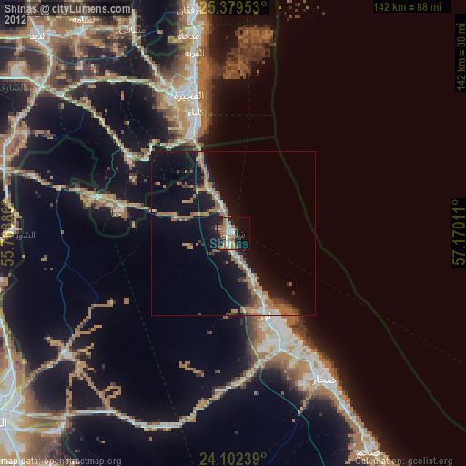
» Earth at Night: Flat Maps 2012, 2016