Al Buraymī night lights from space
Night Light of Al Buraymī (Al Buraimi) from space (Oman) Src. Average luminocity for 10x10km area is 94.8617% and for 50x50km: 48.8615%.
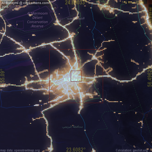
Analysis of Al Buraymī night lights 2016
Square area 10x10 km:
 62.5%
62.5%90-99
18.56%80-89
6.63%70-79
7.95%60-69
4.36%50-59
0%40-49
0%30-39
0%20-29
0%10-19
0%0-9
0%Square area 50x50 km:
12.73%90-99
9.53%80-89
2.79%70-79
4.17%60-69
11.85%50-59
9.35%40-49
5.19%30-39
5.39%20-29
7.3%10-19
15.95%0-9
15.76%Clear (daylight) street map image can be seen on geolist.org.
Map coordinates:
24° 53' 25.2" North, 55° 5' 24" East
24° 15' 3.2" North, 55° 47' 35.2" East
23° 36' 29.5" North, 56° 29' 46.5" East
Some cities around Al Buraymī sort by population:
• Dubai, AE
104.1 km =64.7 mi,  331°
331°
• Sohar
93.5 km =58.1 mi,  83°
83°
• Al Fujairah City, AE
111 km =69 mi,  29°
29°
• Reef Al Fujairah City, AE
109.5 km =68 mi,  24°
24°
• Al Ain City, AE
7.4 km =4.6 mi,  206°
206°
• Shināş
87.4 km =54.3 mi,  51°
51°
• Liwá
83.9 km =52.1 mi,  68°
68°
• Yanqul
105.9 km =65.8 mi,  134°
134°
289317 (p: 73,670)
Sources (retrieved 2019-11-25):
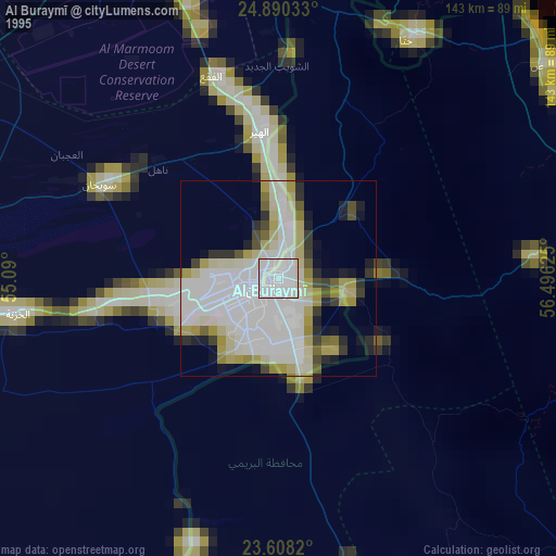
» NASA, Earths city lights 1995
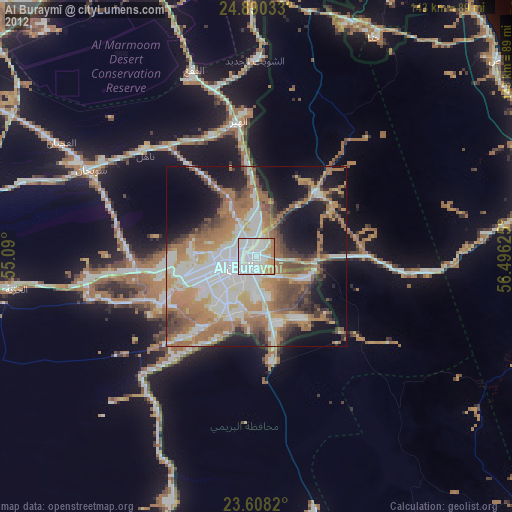
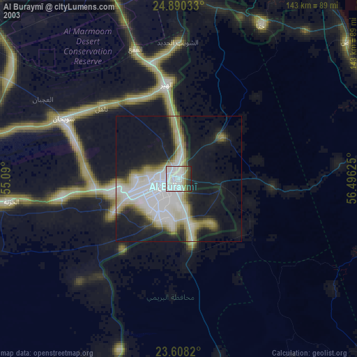
» NASA city lights 2003
» Earth at Night: Flat Maps 2012, 2016