Reef Al Fujairah City night lights from space
Night Light of Reef Al Fujairah City (Fujairah) from space (United Arab Emirates) Src. Average luminocity for 10x10km area is 53.5133% and for 50x50km: 29.5789%.
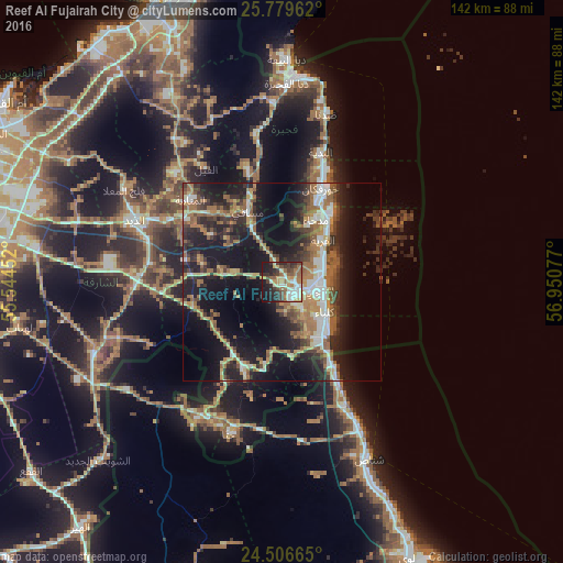

Analysis of Reef Al Fujairah City night lights 2016
Square area 10x10 km:
 6.82%
6.82%90-99
10.61%80-89
8.33%70-79
8.14%60-69
9.09%50-59
8.14%40-49
8.71%30-39
9.28%20-29
14.77%10-19
15.34%0-9
0.76%Square area 50x50 km:
3.3%90-99
4.14%80-89
2.87%70-79
3.07%60-69
6.6%50-59
6.03%40-49
3.7%30-39
5.39%20-29
9.61%10-19
23.04%0-9
32.24%Clear (daylight) street map image can be seen on geolist.org.
Map coordinates:
25° 46' 46.6" North, 55° 32' 40.3" East
25° 8' 41.2" North, 56° 14' 51.5" East
24° 30' 23.9" North, 56° 57' 2.8" East
Some cities around Reef Al Fujairah City sort by population:
• Ras Al Khaimah City
77.9 km =48.4 mi,  336°
336°
• Al Fujairah City
10 km =6.2 mi,  108°
108°
• Shināş, OM
49.9 km =31 mi,  153°
153°
• Khawr Fakkān
22.8 km =14.2 mi,  24°
24°
• Dibba Al-Fujairah
49.8 km =30.9 mi,  1°
1°
• Dibba Al-Hisn
52.8 km =32.8 mi, 2°
• Liwá, OM
75.3 km =46.8 mi,  155°
155°
• Adh Dhayd
40.1 km =24.9 mi,  293°
293°
12047417 (p: 82,310)
Sources (retrieved 2019-11-25):
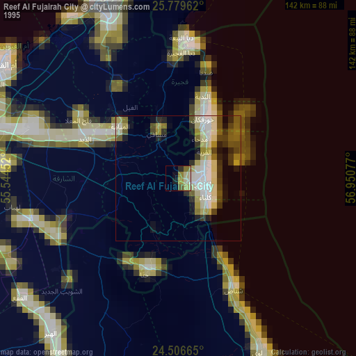
» NASA, Earths city lights 1995
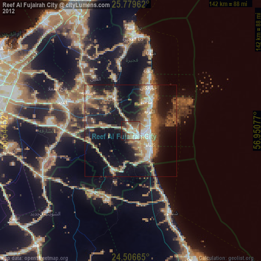
» NASA city lights 2003
» Earth at Night: Flat Maps 2012, 2016