Al Ain City night lights from space
Night Light of Al Ain City (Abu Dhabi) from space (United Arab Emirates) Src. Average luminocity for 10x10km area is 97.0871% and for 50x50km: 49.5485%.
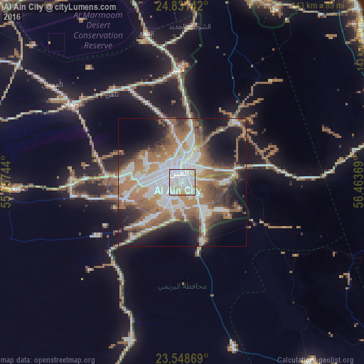
Analysis of Al Ain City night lights 2016
Square area 10x10 km:
 65.72%
90-99
22.16%80-89
7.01%70-79
5.11%60-69
0%50-59
0%40-49
0%30-39
0%20-29
0%10-19
0%0-9
0%Square area 50x50 km:
13.17%90-99
9.95%80-89
2.84%70-79
4.07%60-69
11.97%50-59
9.33%40-49
5.49%30-39
5.41%20-29
7.33%10-19
13.68%0-9
16.75%Clear (daylight) street map image can be seen on geolist.org.
Map coordinates:
24° 49' 53.1" North, 55° 3' 26.8" East
24° 11' 30" North, 55° 45' 38" East
23° 32' 55.3" North, 56° 27' 49.3" East
Some cities around Al Ain City sort by population:
• Dubai
108.5 km =67.4 mi,  335°
335°
• Sohar, OM
97.7 km =60.7 mi,  79°
79°
• Şaḩam, OM
114.4 km =71.1 mi,  91°
91°
• Al Buraymī, OM
7.4 km =4.6 mi,  26°
26°
• Al Shamkhah City
109 km =67.7 mi,  281°
281°
• Shināş, OM
94.1 km =58.5 mi,  49°
49°
• Liwá, OM
89.6 km =55.7 mi,  65°
65°
• Yanqul, OM
103.9 km =64.6 mi,  130°
130°
292913 (p: 55,091)
Sources (retrieved 2019-11-25):
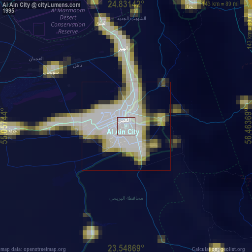
» NASA, Earths city lights 1995
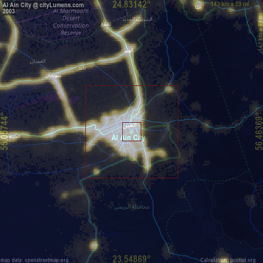
» NASA city lights 2003
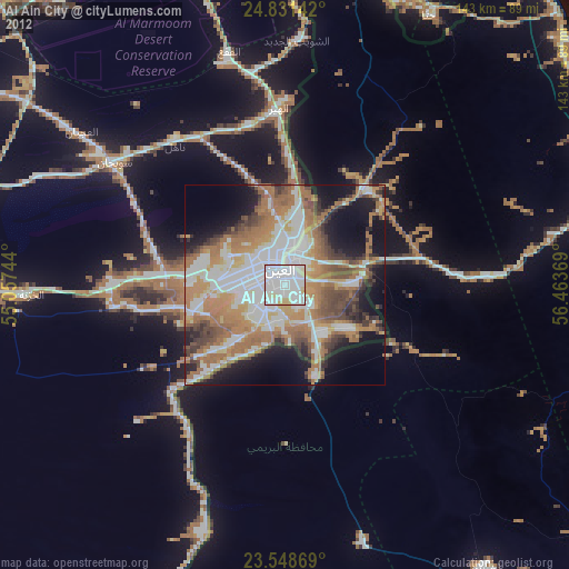
» Earth at Night: Flat Maps 2012, 2016