Dubai night lights from space
Night Light of Dubai from space (United Arab Emirates) Src. Average luminocity for 10x10km area is 85.9015% and for 50x50km: 64.7277%.
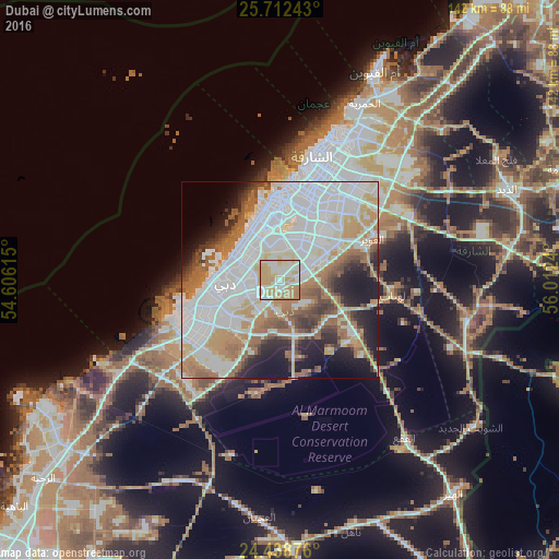
Analysis of Dubai night lights 2016
Square area 10x10 km:
 22.54%
90-99
24.05%80-89
13.64%70-79
25.76%60-69
14.02%50-59
0%40-49
0%30-39
0%20-29
0%10-19
0%0-9
0%Square area 50x50 km:
24.55%90-99
15.66%80-89
5.31%70-79
6.49%60-69
9.32%50-59
6.69%40-49
3.8%30-39
3.75%20-29
5.42%10-19
10.39%0-9
8.63%Clear (daylight) street map image can be seen on geolist.org.
Map coordinates:
25° 42' 44.7" North, 54° 36' 22.1" East
25° 4' 38.1" North, 55° 18' 33.4" East
24° 26' 19.5" North, 56° 0' 44.6" East
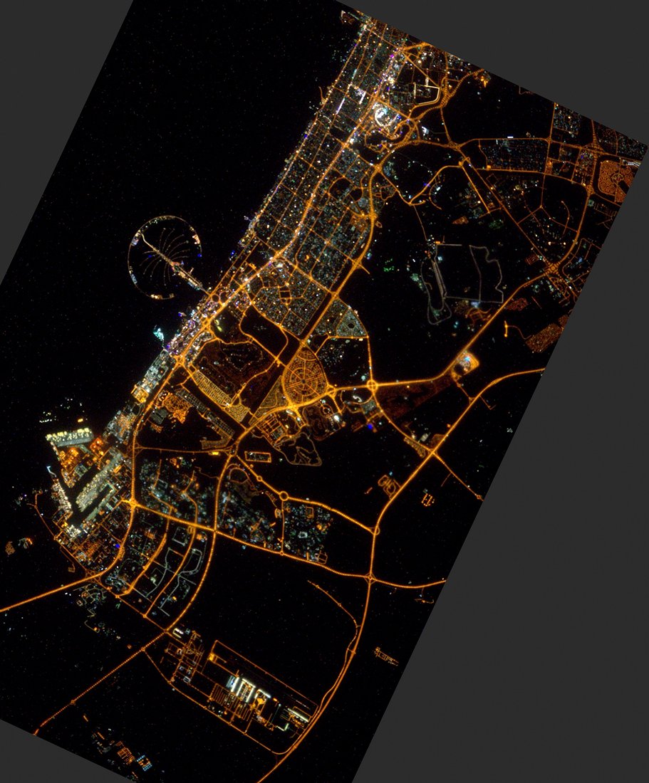
Fantastic image of Dubai from space taken by astronauts [src2], but I don't have information about it's orientation, scale or angle. If necessary, it was rotated manually, so North points approximately to upper direction. Click to zoom in:
Some cities around Dubai sort by population:
• Sharjah
30.7 km =19.1 mi,  19°
19°
• Ajman City
39.9 km =24.8 mi,  25°
25°
• Ras Al Khaimah City
101.6 km =63.1 mi,  38°
38°
• Khalifah A City
101.5 km =63.1 mi,  224°
224°
• Reef Al Fujairah City
94.8 km =58.9 mi,  85°
85°
• Umm Al Quwain City
59.6 km =37 mi, 24°
• Al Shamkhah City
97.4 km =60.5 mi, 218°
• Adh Dhayd
62.2 km =38.6 mi,  67°
67°
292223 (p: 2,956,587)
Sources (retrieved 2019-11-25):
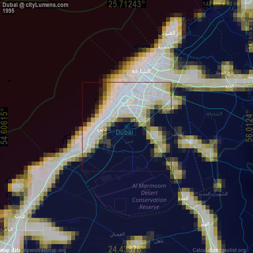
» NASA, Earths city lights 1995
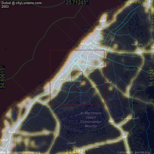
» NASA city lights 2003
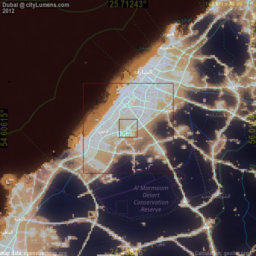
» Earth at Night: Flat Maps 2012, 2016
Src.2: Tim Kopra, Twitter/@astro_tim, 2016-03-11