Waitara night lights from space
Night Light of Waitara (Taranaki) from space (New Zealand) Src. Average luminocity for 10x10km area is 6.6899% and for 50x50km: 1.8698%.
Analysis of Waitara night lights 2016
Square area 10x10 km:
 0%
0%90-99
0.81%80-89
1.14%70-79
0.32%60-69
0.81%50-59
1.46%40-49
0.81%30-39
2.92%20-29
1.95%10-19
0%0-9
89.77%Square area 50x50 km:
0.01%90-99
0.15%80-89
0.26%70-79
0.32%60-69
0.34%50-59
0.34%40-49
0.33%30-39
0.51%20-29
0.25%10-19
1.3%0-9
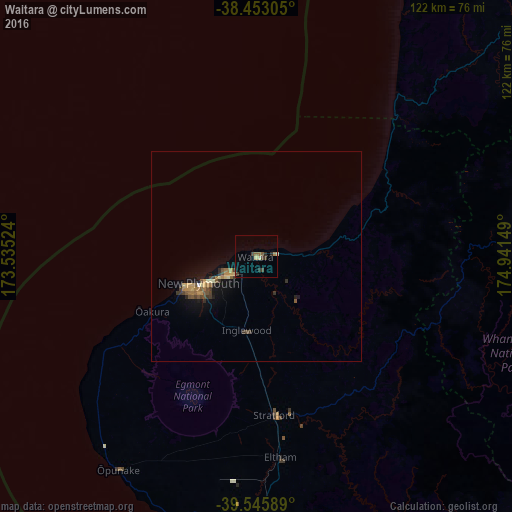
96.2%Clear (daylight) street map image can be seen on geolist.org.
Map coordinates:
38° 27' 11" South, 173° 32' 6.9" East
39° 0' 5.7" South, 174° 14' 18.1" East
39° 32' 45.2" South, 174° 56' 29.4" East
Some cities around Waitara sort by population:
• Hamilton
163.2 km =101.4 mi,  33°
33°
• New Plymouth
15.2 km =9.4 mi,  241°
241°
• Wanganui
124.8 km =77.5 mi,  146°
146°
• Taupo
163.6 km =101.7 mi,  77°
77°
• Cambridge
163 km =101.3 mi,  39°
39°
• Tokoroa
165.2 km =102.7 mi,  58°
58°
• Hawera
65.7 km =40.8 mi,  176°
176°
• Ngaruawahia
168.5 km =104.7 mi, 28°
2208091 (p: 6,318)
Sources (retrieved 2019-11-25):
» Earth at Night: Flat Maps 2012, 2016