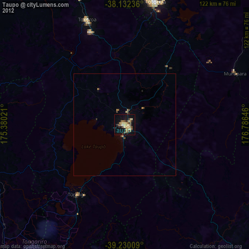
Taupo night lights from space
Night Light of Taupo (Waikato) from space (New Zealand) Src. Average luminocity for 10x10km area is 24.2415% and for 50x50km: 1.2654%.
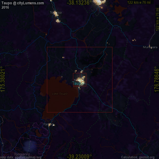
Analysis of Taupo night lights 2016
Square area 10x10 km:
 0%
0%90-99
3.4%80-89
4.93%70-79
4.93%60-69
2.21%50-59
2.38%40-49
5.61%30-39
8.5%20-29
0.68%10-19
21.94%0-9
45.41%Square area 50x50 km:
0%90-99
0.14%80-89
0.2%70-79
0.23%60-69
0.19%50-59
0.11%40-49
0.26%30-39
0.45%20-29
0.09%10-19
0.97%0-9
97.38%Clear (daylight) street map image can be seen on geolist.org.
Map coordinates:
38° 7' 56.5" South, 175° 22' 48.8" East
38° 40' 60" South, 176° 4' 60" East
39° 13' 48.3" South, 176° 47' 11.3" East
Some cities around Taupo sort by population:
• Tauranga
111.1 km =69 mi,  3°
3°
• Rotorua
62.2 km =38.6 mi,  13°
13°
• Napier
115 km =71.5 mi,  141°
141°
• Whakatane
112.6 km =70 mi,  44°
44°
• Cambridge
105.7 km =65.7 mi,  327°
327°
• Tokoroa
53.5 km =33.2 mi,  339°
339°
• Kawerau
84.2 km =52.3 mi, 39°
• Matamata
101 km =62.8 mi, 343°
2181742 (p: 22,469)
Sources (retrieved 2019-11-25):
» Earth at Night: Flat Maps 2012, 2016