Hawera night lights from space
Night Light of Hawera (Taranaki) from space (New Zealand) Src. Average luminocity for 10x10km area is 6.8653% and for 50x50km: 0.4858%.
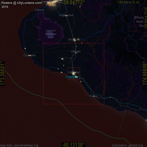
Analysis of Hawera night lights 2016
Square area 10x10 km:
 0%
0%90-99
0.65%80-89
1.95%70-79
0.65%60-69
0.81%50-59
0.49%40-49
2.6%30-39
2.44%20-29
0.81%10-19
0%0-9
89.61%Square area 50x50 km:
0%90-99
0.08%80-89
0.11%70-79
0.03%60-69
0.03%50-59
0.11%40-49
0.14%30-39
0.2%20-29
0.09%10-19
0%0-9
99.22%Clear (daylight) street map image can be seen on geolist.org.
Map coordinates:
39° 2' 51.8" South, 173° 34' 48.8" East
39° 35' 30" South, 174° 16' 60" East
40° 7' 53" South, 174° 59' 11.3" East
Some cities around Hawera sort by population:
• Palmerston North
141.5 km =87.9 mi,  126°
126°
• New Plymouth
60.9 km =37.8 mi,  343°
343°
• Wanganui
75.7 km =47 mi,  120°
120°
• Paraparaumu
159.9 km =99.4 mi,  157°
157°
• Levin
143.3 km =89 mi,  143°
143°
• Waitara
65.7 km =40.8 mi,  356°
356°
• Otaki
149.2 km =92.7 mi,  150°
150°
• Linton Military Camp
142.8 km =88.7 mi, 129°
2206359 (p: 11,068)
Sources (retrieved 2019-11-25):
» Earth at Night: Flat Maps 2012, 2016