Ngaruawahia night lights from space
Night Light of Ngaruawahia (Waikato) from space (New Zealand) Src. Average luminocity for 10x10km area is 7.7262% and for 50x50km: 5.3328%.
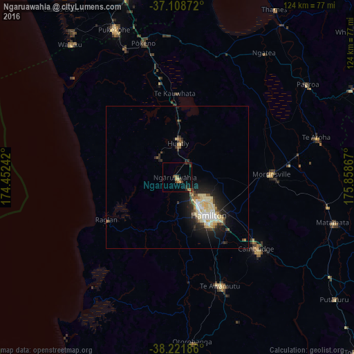
Analysis of Ngaruawahia night lights 2016
Square area 10x10 km:
 0%
0%90-99
0%80-89
0.68%70-79
1.53%60-69
2.38%50-59
0.34%40-49
2.21%30-39
2.38%20-29
2.04%10-19
1.36%0-9
87.07%Square area 50x50 km:
0.53%90-99
0.8%80-89
1.64%70-79
0.35%60-69
0.38%50-59
0.42%40-49
0.66%30-39
0.91%20-29
1.56%10-19
3.51%0-9
89.25%Clear (daylight) street map image can be seen on geolist.org.
Map coordinates:
37° 6' 31.4" South, 174° 27' 8.7" East
37° 40' 2.6" South, 175° 9' 19.9" East
38° 13' 18.7" South, 175° 51' 31.2" East
Some cities around Ngaruawahia sort by population:
• Hamilton
17.1 km =10.6 mi,  138°
138°
• Papakura
69.5 km =43.2 mi,  344°
344°
• Pukekohe East
55 km =34.2 mi, 340°
• Cambridge
34.3 km =21.3 mi,  133°
133°
• Takanini
72.5 km =45 mi, 341°
• Waiuku
59.6 km =37 mi,  321°
321°
• Thames
67.9 km =42.2 mi,  30°
30°
• Matamata
55.7 km =34.6 mi,  106°
106°
6247826 (p: 5,106)
Sources (retrieved 2019-11-25):
» Earth at Night: Flat Maps 2012, 2016