Wanganui night lights from space
Night Light of Wanganui (Manawatu-Wanganui) from space (New Zealand) Src. Average luminocity for 10x10km area is 28.9779% and for 50x50km: 1.2624%.
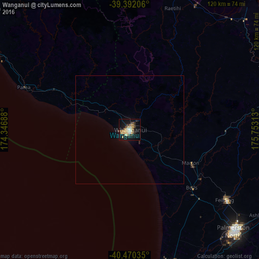

Analysis of Wanganui night lights 2016
Square area 10x10 km:
 1.36%
1.36%90-99
4.59%80-89
8.33%70-79
4.76%60-69
1.36%50-59
3.4%40-49
4.76%30-39
4.42%20-29
1.87%10-19
31.63%0-9
33.5%Square area 50x50 km:
0.05%90-99
0.18%80-89
0.32%70-79
0.18%60-69
0.05%50-59
0.13%40-49
0.18%30-39
0.22%20-29
0.1%10-19
1.26%0-9
97.32%Clear (daylight) street map image can be seen on geolist.org.
Map coordinates:
39° 23' 31.4" South, 174° 20' 48.8" East
39° 55' 60" South, 175° 3' 0" East
40° 28' 13.3" South, 175° 45' 11.3" East
Some cities around Wanganui sort by population:
• Palmerston North
67 km =41.6 mi,  134°
134°
• Paraparaumu
109.4 km =68 mi,  181°
181°
• Masterton
125.2 km =77.8 mi,  155°
155°
• Levin
80.1 km =49.8 mi,  166°
166°
• Hawera
75.7 km =47 mi,  300°
300°
• Waitara
124.8 km =77.5 mi,  326°
326°
• Otaki
92.1 km =57.2 mi, 174°
• Linton Military Camp
69.1 km =42.9 mi,  139°
139°
2179670 (p: 40,268)
Sources (retrieved 2019-11-25):
» Earth at Night: Flat Maps 2012, 2016