Hamilton night lights from space
Night Light of Hamilton (Waikato) from space (New Zealand) Src. Average luminocity for 10x10km area is 70.733% and for 50x50km: 6.0251%.
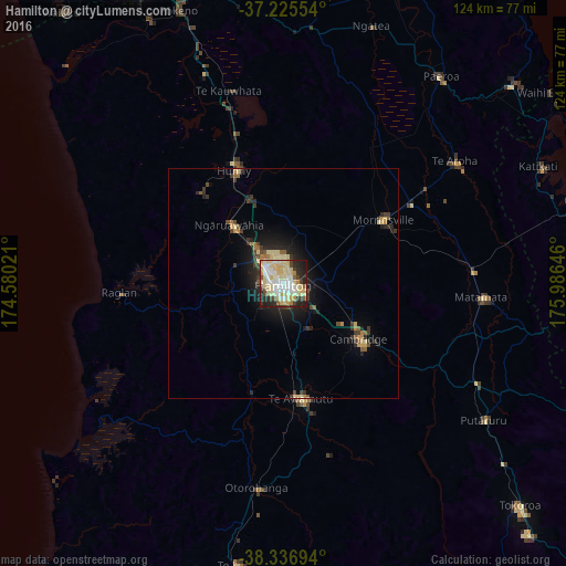
Analysis of Hamilton night lights 2016
Square area 10x10 km:
 12.76%
90-99
18.37%80-89
29.25%70-79
5.44%60-69
3.23%50-59
2.72%40-49
4.59%30-39
5.27%20-29
12.41%10-19
5.95%0-9
0%Square area 50x50 km:
0.52%90-99
0.79%80-89
1.83%70-79
0.52%60-69
0.42%50-59
0.56%40-49
0.71%30-39
1.23%20-29
1.69%10-19
3.56%0-9
88.17%Clear (daylight) street map image can be seen on geolist.org.
Map coordinates:
37° 13' 31.9" South, 174° 34' 48.8" East
37° 46' 60" South, 175° 16' 60" East
38° 20' 13" South, 175° 59' 11.3" East
Some cities around Hamilton sort by population:
• Tauranga
78.4 km =48.7 mi,  82°
82°
• Pukekohe East
71.2 km =44.2 mi,  335°
335°
• Cambridge
17.4 km =10.8 mi,  127°
127°
• Tokoroa
71.5 km =44.4 mi, 134°
• Waiuku
76.7 km =47.7 mi,  320°
320°
• Thames
75.2 km =46.7 mi,  17°
17°
• Matamata
42.2 km =26.2 mi,  94°
94°
• Ngaruawahia
17.1 km =10.6 mi, 318°
2190324 (p: 152,641)
Sources (retrieved 2019-11-25):
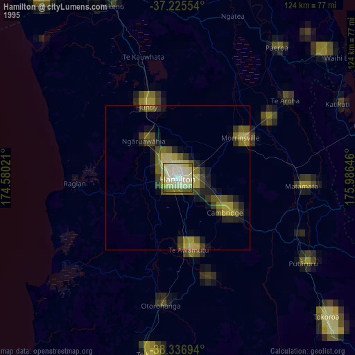
» NASA, Earths city lights 1995
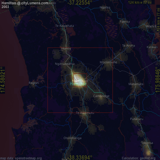
» NASA city lights 2003
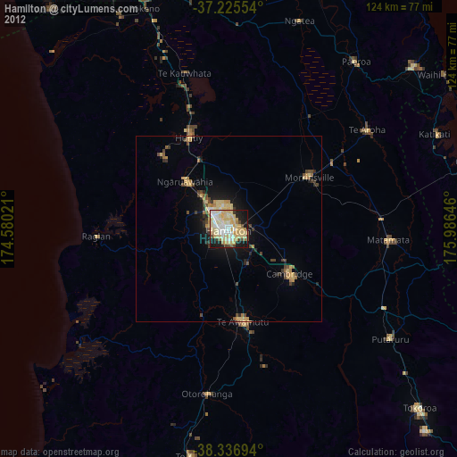
» Earth at Night: Flat Maps 2012, 2016