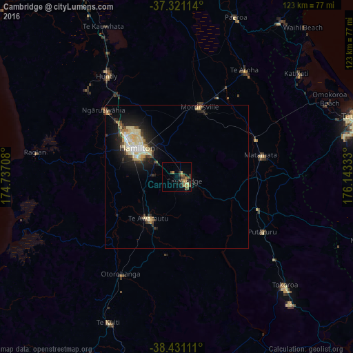
Cambridge night lights from space
Night Light of Cambridge (Waikato) from space (New Zealand) Src. Average luminocity for 10x10km area is 12.8571% and for 50x50km: 5.8879%.
Analysis of Cambridge night lights 2016
Square area 10x10 km:
 0%
0%90-99
0.16%80-89
2.11%70-79
2.92%60-69
2.11%50-59
3.57%40-49
2.11%30-39
5.19%20-29
1.62%10-19
1.95%0-9
78.25%Square area 50x50 km:
0.52%90-99
0.8%80-89
1.87%70-79
0.5%60-69
0.42%50-59
0.5%40-49
0.66%30-39
1.08%20-29
1.57%10-19
3.58%0-9
88.5%Clear (daylight) street map image can be seen on geolist.org.
Map coordinates:
37° 19' 16.1" South, 174° 44' 13.5" East
37° 52' 41.6" South, 175° 26' 24.7" East
38° 25' 52" South, 176° 8' 36" East
Some cities around Cambridge sort by population:
• Hamilton
17.4 km =10.8 mi,  307°
307°
• Tauranga
67.3 km =41.8 mi,  71°
71°
• Rotorua
76.2 km =47.3 mi,  112°
112°
• Pukekohe East
86.9 km =54 mi,  330°
330°
• Tokoroa
54.3 km =33.7 mi,  136°
136°
• Thames
82.7 km =51.4 mi,  6°
6°
• Matamata
29.3 km =18.2 mi,  75°
75°
• Ngaruawahia
34.3 km =21.3 mi, 313°
6240770 (p: 15,192)
Sources (retrieved 2019-11-25):
» Earth at Night: Flat Maps 2012, 2016