New Plymouth night lights from space
Night Light of New Plymouth (Taranaki) from space (New Zealand) Src. Average luminocity for 10x10km area is 26.4756% and for 50x50km: 1.8698%.
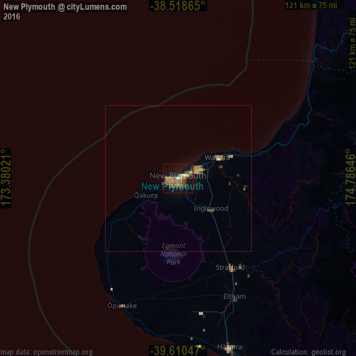
Analysis of New Plymouth night lights 2016
Square area 10x10 km:
 0.16%
0.16%90-99
1.95%80-89
3.57%70-79
5.52%60-69
5.52%50-59
4.87%40-49
6.01%30-39
5.84%20-29
3.25%10-19
27.76%0-9
35.55%Square area 50x50 km:
0.01%90-99
0.15%80-89
0.26%70-79
0.32%60-69
0.34%50-59
0.34%40-49
0.33%30-39
0.51%20-29
0.25%10-19
1.3%0-9
96.2%Clear (daylight) street map image can be seen on geolist.org.
Map coordinates:
38° 31' 7.1" South, 173° 22' 48.8" East
39° 4' 0" South, 174° 4' 60" East
39° 36' 37.7" South, 174° 47' 11.3" East
Some cities around New Plymouth sort by population:
• Hamilton
176.9 km =109.9 mi,  36°
36°
• Wanganui
127.1 km =79 mi,  139°
139°
• Taupo
178.3 km =110.8 mi,  76°
76°
• Cambridge
177.2 km =110.1 mi, 41°
• Tokoroa
180.5 km =112.2 mi,  59°
59°
• Hawera
60.9 km =37.8 mi,  163°
163°
• Waitara
15.2 km =9.4 mi, 61°
• Ngaruawahia
181.5 km =112.8 mi,  30°
30°
2186239 (p: 49,168)
Sources (retrieved 2019-11-25):
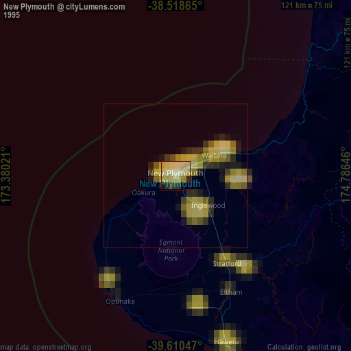
» NASA, Earths city lights 1995
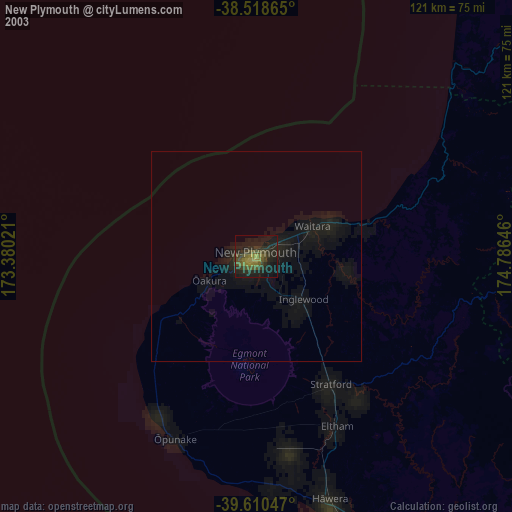
» NASA city lights 2003
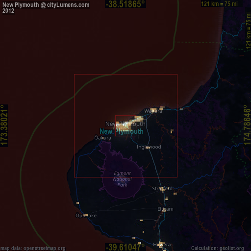
» Earth at Night: Flat Maps 2012, 2016