Tokoroa night lights from space
Night Light of Tokoroa (Waikato) from space (New Zealand) Src. Average luminocity for 10x10km area is 11.1497% and for 50x50km: 0.7496%.
Analysis of Tokoroa night lights 2016
Square area 10x10 km:
 0%
0%90-99
0.34%80-89
3.4%70-79
3.06%60-69
0.34%50-59
2.04%40-49
1.02%30-39
1.36%20-29
2.04%10-19
1.7%0-9
84.69%Square area 50x50 km:
0%90-99
0.03%80-89
0.25%70-79
0.12%60-69
0.04%50-59
0.11%40-49
0.12%30-39
0.22%20-29
0.14%10-19
0.07%0-9
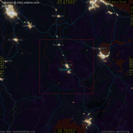
98.9%Clear (daylight) street map image can be seen on geolist.org.
Map coordinates:
37° 40' 44.1" South, 175° 9' 48.8" East
38° 13' 60" South, 175° 52' 0" East
38° 47' 0.7" South, 176° 34' 11.3" East
Some cities around Tokoroa sort by population:
• Hamilton
71.5 km =44.4 mi,  314°
314°
• Tauranga
66.3 km =41.2 mi,  23°
23°
• Rotorua
34.7 km =21.6 mi,  72°
72°
• Taupo
53.5 km =33.2 mi,  159°
159°
• Cambridge
54.3 km =33.7 mi,  316°
316°
• Kawerau
74.3 km =46.2 mi,  78°
78°
• Matamata
47.9 km =29.8 mi,  349°
349°
• Ngaruawahia
88.6 km =55.1 mi, 315°
2180995 (p: 14,277)
Sources (retrieved 2019-11-25):
» Earth at Night: Flat Maps 2012, 2016