Rotorua night lights from space
Night Light of Rotorua (Bay of Plenty) from space (New Zealand) Src. Average luminocity for 10x10km area is 32.7789% and for 50x50km: 1.7298%.
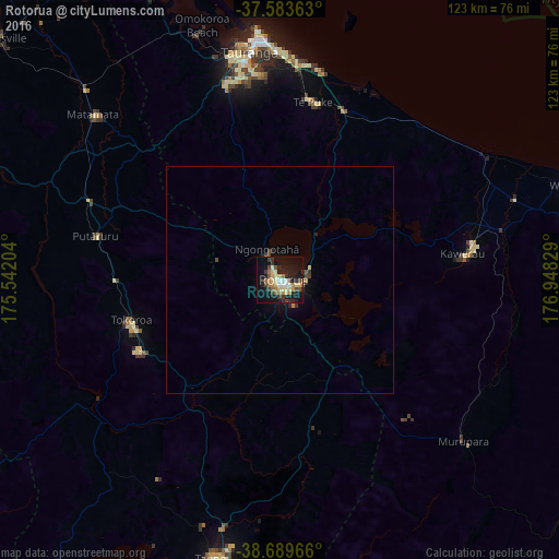

Analysis of Rotorua night lights 2016
Square area 10x10 km:
 2.21%
2.21%90-99
5.78%80-89
7.14%70-79
2.55%60-69
5.61%50-59
4.08%40-49
2.89%30-39
8.16%20-29
4.59%10-19
35.37%0-9
21.6%Square area 50x50 km:
0.09%90-99
0.24%80-89
0.32%70-79
0.12%60-69
0.26%50-59
0.21%40-49
0.24%30-39
0.47%20-29
0.3%10-19
1.66%0-9
96.11%Clear (daylight) street map image can be seen on geolist.org.
Map coordinates:
37° 35' 1.1" South, 175° 32' 31.3" East
38° 8' 19.5" South, 176° 14' 42.6" East
38° 41' 22.8" South, 176° 56' 53.8" East
Some cities around Rotorua sort by population:
• Hamilton
93.1 km =57.8 mi,  295°
295°
• Tauranga
50.8 km =31.6 mi,  352°
352°
• Taupo
62.2 km =38.6 mi,  193°
193°
• Whakatane
67.8 km =42.1 mi,  72°
72°
• Cambridge
76.2 km =47.3 mi,  292°
292°
• Tokoroa
34.7 km =21.6 mi,  252°
252°
• Kawerau
40 km =24.9 mi,  83°
83°
• Matamata
55.9 km =34.7 mi,  310°
310°
6241325 (p: 65,901)
Sources (retrieved 2019-11-25):
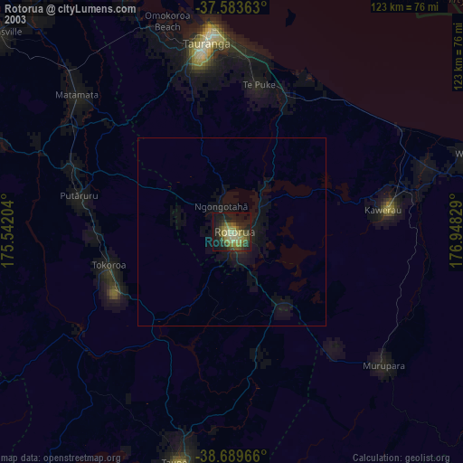
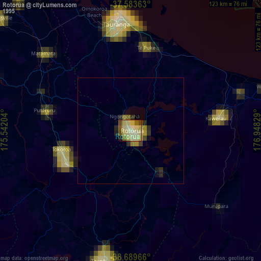
» NASA, Earths city lights 1995
» NASA city lights 2003
» Earth at Night: Flat Maps 2012, 2016