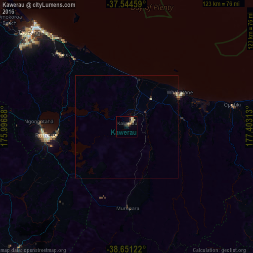
Kawerau night lights from space
Night Light of Kawerau (Bay of Plenty) from space (New Zealand) Src. Average luminocity for 10x10km area is 8.4578% and for 50x50km: 0.5996%.
Analysis of Kawerau night lights 2016
Square area 10x10 km:
 0%
0%90-99
1.62%80-89
2.76%70-79
0.81%60-69
0.65%50-59
1.3%40-49
1.62%30-39
1.62%20-29
0.65%10-19
1.3%0-9
87.66%Square area 50x50 km:
0%90-99
0.11%80-89
0.15%70-79
0.03%60-69
0.05%50-59
0.05%40-49
0.09%30-39
0.23%20-29
0.08%10-19
0.08%0-9
99.11%Clear (daylight) street map image can be seen on geolist.org.
Map coordinates:
37° 32' 40.5" South, 175° 59' 48.8" East
38° 6' 0" South, 176° 42' 0" East
38° 39' 4.4" South, 177° 24' 11.3" East
Some cities around Kawerau sort by population:
• Hamilton
129.1 km =80.2 mi,  285°
285°
• Tauranga
65.6 km =40.8 mi,  314°
314°
• Rotorua
40 km =24.9 mi,  263°
263°
• Taupo
84.2 km =52.3 mi,  219°
219°
• Whakatane
29.5 km =18.3 mi,  57°
57°
• Cambridge
113.1 km =70.3 mi,  282°
282°
• Tokoroa
74.3 km =46.2 mi, 258°
• Matamata
88.3 km =54.9 mi, 291°
2188942 (p: 6,702)
Sources (retrieved 2019-11-25):
» Earth at Night: Flat Maps 2012, 2016