Whakatane night lights from space
Night Light of Whakatane (Bay of Plenty) from space (New Zealand) Src. Average luminocity for 10x10km area is 9.6672% and for 50x50km: 0.8514%.
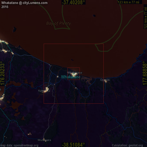
Analysis of Whakatane night lights 2016
Square area 10x10 km:
 0%
0%90-99
3.41%80-89
0.97%70-79
0.16%60-69
1.3%50-59
0%40-49
1.62%30-39
5.36%20-29
0.81%10-19
0.16%0-9
86.2%Square area 50x50 km:
0%90-99
0.22%80-89
0.17%70-79
0.04%60-69
0.08%50-59
0.05%40-49
0.13%30-39
0.35%20-29
0.15%10-19
0.07%0-9
98.73%Clear (daylight) street map image can be seen on geolist.org.
Map coordinates:
37° 24' 7.5" South, 176° 16' 56.4" East
37° 57' 30.8" South, 176° 59' 7.6" East
38° 30' 39" South, 177° 41' 18.9" East
Some cities around Whakatane sort by population:
• Tauranga
78 km =48.5 mi,  292°
292°
• Rotorua
67.8 km =42.1 mi,  252°
252°
• Gisborne
117.8 km =73.2 mi,  130°
130°
• Taupo
112.6 km =70 mi,  224°
224°
• Cambridge
135.8 km =84.4 mi,  273°
273°
• Tokoroa
102.6 km =63.8 mi, 252°
• Kawerau
29.5 km =18.3 mi,  237°
237°
• Matamata
108.6 km =67.5 mi,  278°
278°
2208330 (p: 18,602)
Sources (retrieved 2019-11-25):
» Earth at Night: Flat Maps 2012, 2016