Thames night lights from space
Night Light of Thames (Waikato) from space (New Zealand) Src. Average luminocity for 10x10km area is 1.6207% and for 50x50km: 0.1398%.
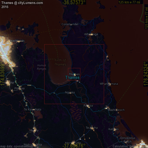
Analysis of Thames night lights 2016
Square area 10x10 km:
 0%
0%90-99
0%80-89
0.34%70-79
0.34%60-69
0.68%50-59
0.68%40-49
0%30-39
0.68%20-29
0%10-19
0%0-9
97.28%Square area 50x50 km:
0%90-99
0%80-89
0.01%70-79
0.01%60-69
0.03%50-59
0.06%40-49
0.05%30-39
0.08%20-29
0.03%10-19
0.03%0-9
99.7%Clear (daylight) street map image can be seen on geolist.org.
Map coordinates:
36° 34' 32.6" South, 174° 50' 13.2" East
37° 8' 18" South, 175° 32' 24.4" East
37° 41' 48.3" South, 176° 14' 35.7" East
Some cities around Thames sort by population:
• Manukau City
60.8 km =37.8 mi,  285°
285°
• Mangere
68.5 km =42.6 mi, 286°
• Papakura
53.5 km =33.2 mi,  278°
278°
• Pukekohe East
52.7 km =32.7 mi,  262°
262°
• Takanini
57.6 km =35.8 mi, 280°
• Pakuranga
62.2 km =38.6 mi,  297°
297°
• Waiuku
72.4 km =45 mi, 260°
• Ngaruawahia
67.9 km =42.2 mi,  210°
210°
2208333 (p: 7,136)
Sources (retrieved 2019-11-25):
» Earth at Night: Flat Maps 2012, 2016