Pukekohe East night lights from space
Night Light of Pukekohe East (Auckland) from space (New Zealand) Src. Average luminocity for 10x10km area is 13.6259% and for 50x50km: 6.6411%.
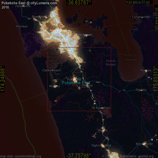
Analysis of Pukekohe East night lights 2016
Square area 10x10 km:
 0%
0%90-99
0%80-89
3.4%70-79
3.4%60-69
2.55%50-59
0.17%40-49
4.42%30-39
2.89%20-29
1.7%10-19
2.21%0-9
79.25%Square area 50x50 km:
0.8%90-99
0.78%80-89
1.66%70-79
0.87%60-69
0.53%50-59
0.51%40-49
1.11%30-39
1.61%20-29
1.76%10-19
3.15%0-9
87.23%Clear (daylight) street map image can be seen on geolist.org.
Map coordinates:
36° 38' 16.3" South, 174° 14' 48.8" East
37° 12' 0" South, 174° 57' 0" East
37° 45' 28.7" South, 175° 39' 11.3" East
Some cities around Pukekohe East sort by population:
• Auckland
42.4 km =26.3 mi,  337°
337°
• Manukau City
23.9 km =14.9 mi, 344°
• North Shore
47.9 km =29.8 mi, 338°
• Mangere
29.1 km =18.1 mi,  332°
332°
• Papakura
14.9 km =9.3 mi,  357°
357°
• Takanini
17.4 km =10.8 mi,  345°
345°
• Pakuranga
35.3 km =21.9 mi, 355°
• Waiuku
19.8 km =12.3 mi,  254°
254°
2184155 (p: 21,438)
Sources (retrieved 2019-11-25):
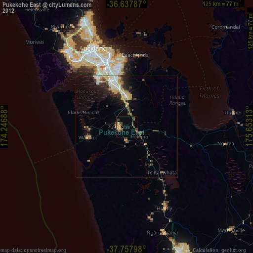
» Earth at Night: Flat Maps 2012, 2016