Ṭikāpur night lights from space
Night Light of Ṭikāpur (Sudurpashchim Pradesh) from space (Nepal) Src. Average luminocity for 10x10km area is 0.9643% and for 50x50km: 0.6016%.
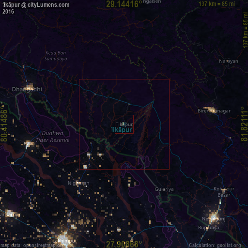
Analysis of Ṭikāpur night lights 2016
Square area 10x10 km:
 0%
0%90-99
0%80-89
0%70-79
0%60-69
0%50-59
0.6%40-49
0.99%30-39
0%20-29
0.6%10-19
0.2%0-9
97.62%Square area 50x50 km:
0.08%90-99
0.07%80-89
0.03%70-79
0.06%60-69
0.06%50-59
0.07%40-49
0.16%30-39
0.07%20-29
0.3%10-19
0.19%0-9
98.91%Clear (daylight) street map image can be seen on geolist.org.
Map coordinates:
29° 8' 39" North, 80° 24' 53.5" East
28° 31' 41.6" North, 81° 7' 4.7" East
27° 54' 31.2" North, 81° 49' 16" East
Some cities around Ṭikāpur sort by population:
• Dhangaḍhi̇̄
55 km =34.2 mi,  290°
290°
• Nepalgunj
72.2 km =44.9 mi,  137°
137°
• Gulariyā
42.2 km =26.2 mi,  148°
148°
• Paliā Kalān, IN
53.5 km =33.2 mi,  258°
258°
• Birendranagar
51 km =31.7 mi,  80°
80°
• Dailekh
67.6 km =42 mi,  58°
58°
• Dhaurahra, IN
59 km =36.7 mi,  182°
182°
• Amethi, IN
57.3 km =35.6 mi,  186°
186°
1282666 (p: 44,758)
Sources (retrieved 2019-11-25):
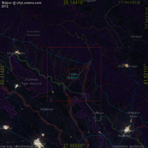
» Earth at Night: Flat Maps 2012, 2016