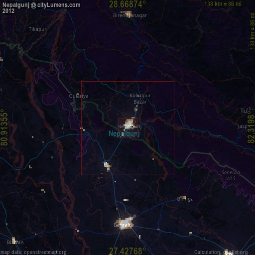
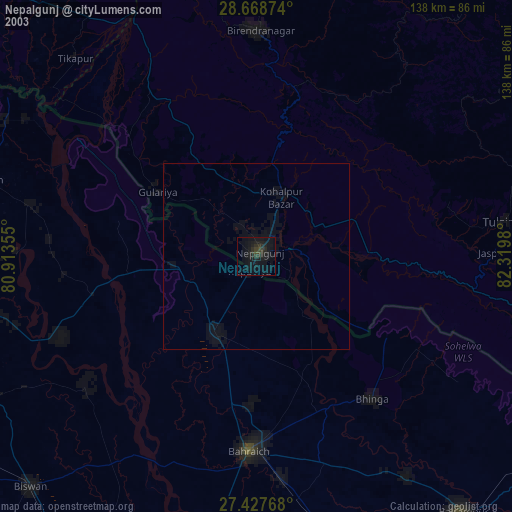
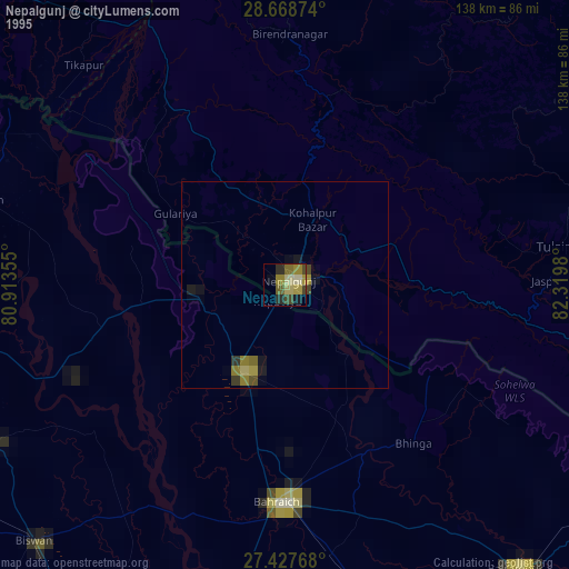
Nepalgunj night lights from space
Night Light of Nepalgunj (Province 5) from space (Nepal) Src. Average luminocity for 10x10km area is 29.3485% and for 50x50km: 2.9526%.

Analysis of Nepalgunj night lights 2016
Square area 10x10 km:
 2.65%
2.65%90-99
4.92%80-89
3.22%70-79
3.6%60-69
3.6%50-59
5.87%40-49
6.44%30-39
5.68%20-29
4.17%10-19
24.81%0-9
35.04%Square area 50x50 km:
0.25%90-99
0.42%80-89
0.19%70-79
0.24%60-69
0.2%50-59
0.49%40-49
0.93%30-39
0.58%20-29
0.77%10-19
2.14%0-9
93.81%Clear (daylight) street map image can be seen on geolist.org.
Map coordinates:
28° 40' 7.5" North, 80° 54' 48.8" East
28° 3' 0" North, 81° 37' 0" East
27° 25' 39.6" North, 82° 19' 11.3" East
Some cities around Nepalgunj sort by population:
• Bahraigh, IN
52.9 km =32.9 mi,  182°
182°
• Gulariyā
31.8 km =19.8 mi,  303°
303°
• Nānpāra, IN
23.6 km =14.7 mi,  208°
208°
• Birendranagar
61.4 km =38.2 mi,  1°
1°
• Bhinga, IN
49.6 km =30.8 mi,  141°
141°
• Dhaurahra, IN
52 km =32.3 mi,  263°
263°
• Ikauna, IN
67.3 km =41.8 mi,  149°
149°
• Amethi, IN
55.7 km =34.6 mi,  266°
266°
6941099 (p: 64,400)
Sources (retrieved 2019-11-25):
» NASA, Earths city lights 1995
» NASA city lights 2003
» Earth at Night: Flat Maps 2012, 2016