Dhangaḍhi̇̄ night lights from space
Night Light of Dhangaḍhi̇̄ (Sudurpashchim Pradesh) from space (Nepal) Src. Average luminocity for 10x10km area is 11.4148% and for 50x50km: 0.6971%.
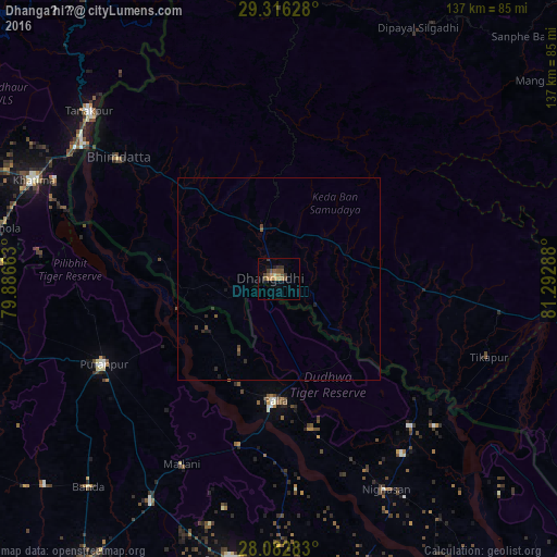
Analysis of Dhangaḍhi̇̄ night lights 2016
Square area 10x10 km:
 0%
0%90-99
0.19%80-89
0.57%70-79
3.6%60-69
1.7%50-59
2.84%40-49
3.41%30-39
4.17%20-29
0.57%10-19
1.89%0-9
81.06%Square area 50x50 km:
0%90-99
0.01%80-89
0.02%70-79
0.14%60-69
0.07%50-59
0.22%40-49
0.19%30-39
0.32%20-29
0.12%10-19
0.22%0-9
98.69%Clear (daylight) street map image can be seen on geolist.org.
Map coordinates:
29° 18' 58.6" North, 79° 53' 11.9" East
28° 42' 4.9" North, 80° 35' 23.1" East
28° 4' 58.2" North, 81° 17' 34.4" East
Some cities around Dhangaḍhi̇̄ sort by population:
• Mahendranagar
49.7 km =30.9 mi,  306°
306°
• Ṭikāpur
55 km =34.2 mi,  110°
110°
• Pūranpur, IN
47.9 km =29.8 mi,  244°
244°
• Paliā Kalān, IN
30 km =18.6 mi,  181°
181°
• Mailāni, IN
51.6 km =32.1 mi,  207°
207°
• Kālīnagar, IN
50.4 km =31.3 mi,  259°
259°
• Banbasa, IN
59.5 km =37 mi,  302°
302°
• Mohanpur, IN
60.2 km =37.4 mi, 214°
1283467 (p: 92,294)
Sources (retrieved 2019-11-25):
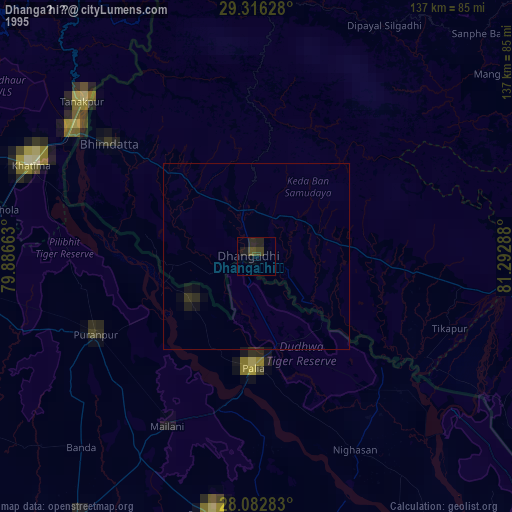
» NASA, Earths city lights 1995
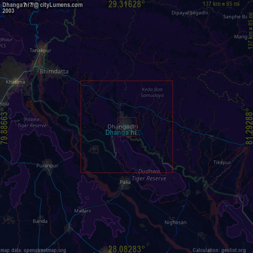
» NASA city lights 2003
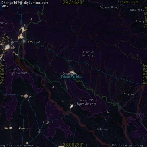
» Earth at Night: Flat Maps 2012, 2016