Dailekh night lights from space
Night Light of Dailekh (Karnali Pradesh) from space (Nepal) Src. Average luminocity for 10x10km area is 0.3182% and for 50x50km: 0.0437%.
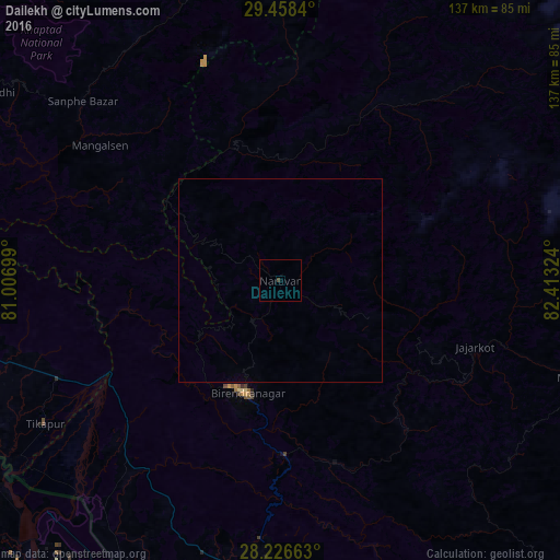
Analysis of Dailekh night lights 2016
Square area 10x10 km:
 0%
0%90-99
0%80-89
0%70-79
0%60-69
0%50-59
0%40-49
0.57%30-39
0.19%20-29
0%10-19
0%0-9
99.24%Square area 50x50 km:
0%90-99
0%80-89
0%70-79
0%60-69
0%50-59
0%40-49
0.02%30-39
0.01%20-29
0%10-19
0%0-9
99.97%Clear (daylight) street map image can be seen on geolist.org.
Map coordinates:
29° 27' 30.2" North, 81° 0' 25.2" East
28° 50' 39.6" North, 81° 42' 36.4" East
28° 13' 35.9" North, 82° 24' 47.7" East
Some cities around Dailekh sort by population:
• Nepalgunj
88.8 km =55.2 mi,  185°
185°
• Gulariyā
79.4 km =49.3 mi,  206°
206°
• Ṭikāpur
67.6 km =42 mi,  238°
238°
• Tulsīpur
97.9 km =60.8 mi,  144°
144°
• Birendranagar
28 km =17.4 mi,  195°
195°
• Dipayal
88 km =54.7 mi,  301°
301°
• Jumla
66.4 km =41.3 mi,  43°
43°
• Besisahar
96.5 km =60 mi,  134°
134°
1283496 (p: 20,908)
Sources (retrieved 2019-11-25):
» Earth at Night: Flat Maps 2012, 2016