Birendranagar night lights from space
Night Light of Birendranagar (Karnali Pradesh) from space (Nepal) Src. Average luminocity for 10x10km area is 10.3485% and for 50x50km: 0.4716%.
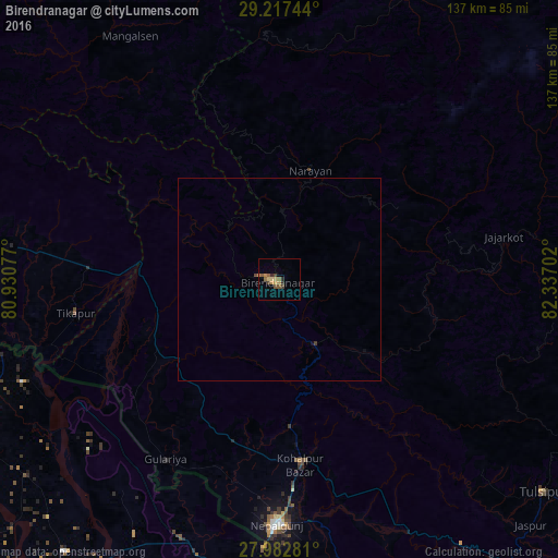
Analysis of Birendranagar night lights 2016
Square area 10x10 km:
 0%
0%90-99
0%80-89
2.27%70-79
3.03%60-69
1.33%50-59
3.41%40-49
1.89%30-39
1.33%20-29
1.52%10-19
0%0-9
85.23%Square area 50x50 km:
0%90-99
0%80-89
0.09%70-79
0.13%60-69
0.05%50-59
0.13%40-49
0.1%30-39
0.08%20-29
0.06%10-19
0.03%0-9
99.31%Clear (daylight) street map image can be seen on geolist.org.
Map coordinates:
29° 13' 2.8" North, 80° 55' 50.8" East
28° 36' 7" North, 81° 38' 2" East
27° 58' 58.1" North, 82° 20' 13.3" East
Some cities around Birendranagar sort by population:
• Nepalgunj
61.4 km =38.2 mi,  181°
181°
• Gulariyā
52.3 km =32.5 mi,  212°
212°
• Nānpāra, IN
83 km =51.6 mi,  189°
189°
• Ṭikāpur
51 km =31.7 mi,  260°
260°
• Tulsīpur
83.4 km =51.8 mi,  128°
128°
• Dailekh
28 km =17.4 mi,  15°
15°
• Dhaurahra, IN
85.7 km =53.3 mi,  218°
218°
• Besisahar
86.5 km =53.7 mi,  118°
118°
6254843 (p: 31,381)
Sources (retrieved 2019-11-25):
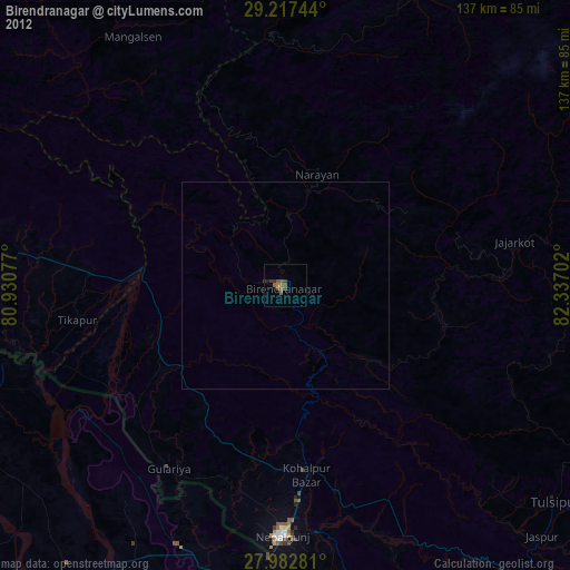
» Earth at Night: Flat Maps 2012, 2016