Gulariyā night lights from space
Night Light of Gulariyā (Province 5) from space (Nepal) Src. Average luminocity for 10x10km area is 0.3194% and for 50x50km: 0.6734%.
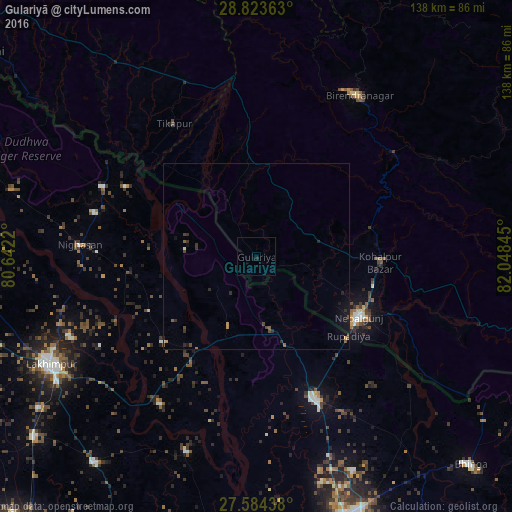
Analysis of Gulariyā night lights 2016
Square area 10x10 km:
 0%
0%90-99
0%80-89
0%70-79
0%60-69
0%50-59
0%40-49
0%30-39
0%20-29
0.79%10-19
0.79%0-9
98.41%Square area 50x50 km:
0.01%90-99
0.04%80-89
0%70-79
0.09%60-69
0.05%50-59
0.17%40-49
0.23%30-39
0.18%20-29
0.32%10-19
0.47%0-9
98.45%Clear (daylight) street map image can be seen on geolist.org.
Map coordinates:
28° 49' 25.1" North, 80° 38' 31.9" East
28° 12' 20.9" North, 81° 20' 43.2" East
27° 35' 3.8" North, 82° 2' 54.4" East
Some cities around Gulariyā sort by population:
• Lakhīmpur, IN
62.5 km =38.8 mi,  242°
242°
• Nepalgunj
31.8 km =19.8 mi,  123°
123°
• Nānpāra, IN
40.9 km =25.4 mi,  158°
158°
• Ṭikāpur
42.2 km =26.2 mi,  328°
328°
• Birendranagar
52.3 km =32.5 mi,  32°
32°
• Kheri, IN
63.4 km =39.4 mi, 237°
• Dhaurahra, IN
34.1 km =21.2 mi,  227°
227°
• Amethi, IN
35.8 km =22.2 mi, 234°
1283368 (p: 53,107)
Sources (retrieved 2019-11-25):
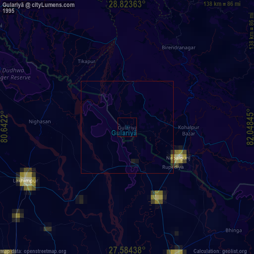
» NASA, Earths city lights 1995
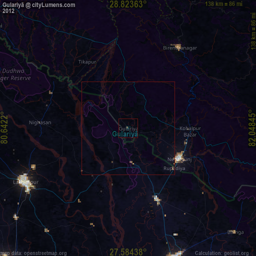
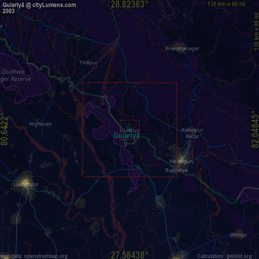
» NASA city lights 2003
» Earth at Night: Flat Maps 2012, 2016