Dhaurahra night lights from space
Night Light of Dhaurahra (Uttar Pradesh) from space (India) Src. Average luminocity for 10x10km area is 6.2254% and for 50x50km: 3.265%.
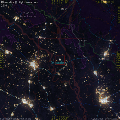
Analysis of Dhaurahra night lights 2016
Square area 10x10 km:
 0.95%
0.95%90-99
0.57%80-89
0%70-79
0.76%60-69
0.76%50-59
1.52%40-49
0.76%30-39
1.14%20-29
1.52%10-19
2.08%0-9
89.96%Square area 50x50 km:
0.07%90-99
0.14%80-89
0.05%70-79
0.17%60-69
0.36%50-59
0.61%40-49
1.15%30-39
1.15%20-29
1.75%10-19
2.3%0-9
92.25%Clear (daylight) street map image can be seen on geolist.org.
Map coordinates:
28° 37' 1.8" North, 80° 23' 11.9" East
27° 59' 53.3" North, 81° 5' 23.1" East
27° 22' 31.9" North, 81° 47' 34.4" East
Some cities around Dhaurahra sort by population:
• Lakhīmpur
31 km =19.3 mi,  259°
259°
• Nepalgunj, NP
52 km =32.3 mi,  83°
83°
• Lāharpur
37.1 km =23.1 mi,  209°
209°
• Gulariyā, NP
34.1 km =21.2 mi,  47°
47°
• Biswān
56.6 km =35.2 mi,  189°
189°
• Nānpāra
43 km =26.7 mi,  110°
110°
• Kheri
30.6 km =19 mi,  249°
249°
• Amethi
4.4 km =2.7 mi,  297°
297°
1272802 (p: 20,098)
Sources (retrieved 2019-11-25):
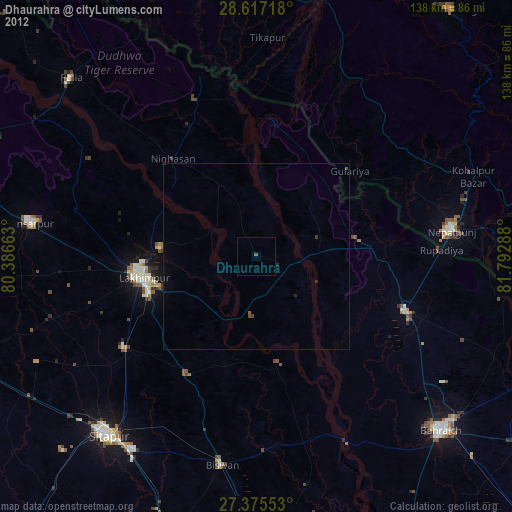
» Earth at Night: Flat Maps 2012, 2016