Paliā Kalān night lights from space
Night Light of Paliā Kalān (Uttar Pradesh) from space (India) Src. Average luminocity for 10x10km area is 16.8254% and for 50x50km: 1.6453%.
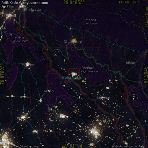
Analysis of Paliā Kalān night lights 2016
Square area 10x10 km:
 2.58%
2.58%90-99
2.58%80-89
0.4%70-79
0.79%60-69
2.98%50-59
4.17%40-49
3.97%30-39
1.19%20-29
2.38%10-19
2.98%0-9
75.99%Square area 50x50 km:
0.1%90-99
0.13%80-89
0.05%70-79
0.13%60-69
0.24%50-59
0.38%40-49
0.5%30-39
0.43%20-29
0.59%10-19
0.44%0-9
97.02%Clear (daylight) street map image can be seen on geolist.org.
Map coordinates:
29° 2' 54.8" North, 79° 52' 41.7" East
28° 25' 55.4" North, 80° 34' 52.9" East
27° 48' 43" North, 81° 17' 4.2" East
Some cities around Paliā Kalān sort by population:
• Dhangaḍhi̇̄, NP
30 km =18.6 mi,  1°
1°
• Gola Gokarannāth
40.8 km =25.4 mi,  195°
195°
• Ṭikāpur, NP
53.5 km =33.2 mi,  78°
78°
• Pūranpur
43.3 km =26.9 mi,  281°
281°
• Khūtār
39.7 km =24.7 mi,  230°
230°
• Mailāni
28 km =17.4 mi,  235°
235°
• Kālīnagar
53.1 km =33 mi,  293°
293°
• Mohanpur
38.5 km =23.9 mi, 238°
1260713 (p: 38,547)
Sources (retrieved 2019-11-25):
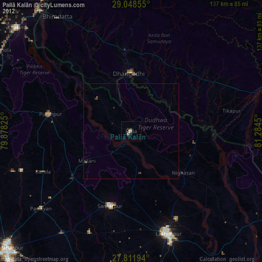
» Earth at Night: Flat Maps 2012, 2016