Nānpāra night lights from space
Night Light of Nānpāra (Uttar Pradesh) from space (India) Src. Average luminocity for 10x10km area is 20.2784% and for 50x50km: 5.1856%.
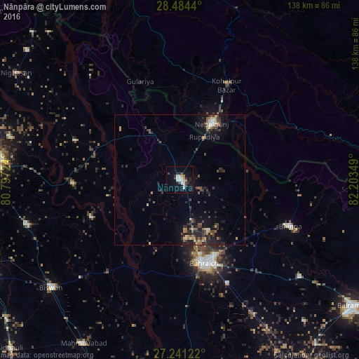
Analysis of Nānpāra night lights 2016
Square area 10x10 km:
 3.6%
3.6%90-99
5.49%80-89
0.76%70-79
2.27%60-69
0.76%50-59
0%40-49
3.79%30-39
2.08%20-29
3.98%10-19
14.02%0-9
63.26%Square area 50x50 km:
0.31%90-99
0.59%80-89
0.37%70-79
0.6%60-69
0.64%50-59
0.82%40-49
1.2%30-39
1.12%20-29
2.16%10-19
3.84%0-9
88.35%Clear (daylight) street map image can be seen on geolist.org.
Map coordinates:
28° 29' 3.8" North, 80° 47' 50.1" East
27° 51' 52.5" North, 81° 30' 1.3" East
27° 14' 28.4" North, 82° 12' 12.6" East
Some cities around Nānpāra sort by population:
• Bahraigh
33.6 km =20.9 mi,  163°
163°
• Nepalgunj, NP
23.6 km =14.7 mi,  28°
28°
• Lāharpur
61.3 km =38.1 mi,  253°
253°
• Gulariyā, NP
40.9 km =25.4 mi,  338°
338°
• Bhinga
46.3 km =28.8 mi,  112°
112°
• Dhaurahra
43 km =26.7 mi,  290°
290°
• Ikauna
59.2 km =36.8 mi,  128°
128°
• Amethi
47.4 km =29.5 mi, 290°
1261901 (p: 46,280)
Sources (retrieved 2019-11-25):
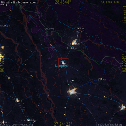
» Earth at Night: Flat Maps 2012, 2016