Voss night lights from space
Night Light of Voss (Hordaland) from space (Norway) Src. Average luminocity for 10x10km area is 11.4483% and for 50x50km: 0.6479%.
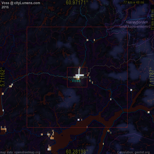
Analysis of Voss night lights 2016
Square area 10x10 km:
 3.31%
3.31%90-99
2.58%80-89
0.72%70-79
1.03%60-69
0.62%50-59
0%40-49
0.21%30-39
0.83%20-29
1.03%10-19
6.4%0-9
83.26%Square area 50x50 km:
0.15%90-99
0.14%80-89
0.05%70-79
0.05%60-69
0.03%50-59
0.05%40-49
0.05%30-39
0.06%20-29
0.05%10-19
0.28%0-9
99.08%Clear (daylight) street map image can be seen on geolist.org.
Map coordinates:
60° 58' 18.2" North, 5° 42' 41.8" East
60° 37' 43.3" North, 6° 24' 53.1" East
60° 16' 55.1" North, 7° 7' 4.3" East
Some cities around Voss sort by population:
• Bergen
65.2 km =40.5 mi,  246°
246°
• Ytrebygda
71.7 km =44.6 mi,  239°
239°
• Askøy
72 km =44.7 mi, 249°
• Førde
96.4 km =59.9 mi,  341°
341°
• Sogndal
76.2 km =47.3 mi,  28°
28°
• Indre Arna
56.7 km =35.2 mi, 245°
• Odda
62.6 km =38.9 mi,  173°
173°
• Hermansverk
66.1 km =41.1 mi,  20°
20°
3131329 (p: 5,571)
Sources (retrieved 2019-11-25):
» Earth at Night: Flat Maps 2012, 2016