Sogndal night lights from space
Night Light of Sogndal (Sogn og Fjordane) from space (Norway) Src. Average luminocity for 10x10km area is 3.7944% and for 50x50km: 0.285%.
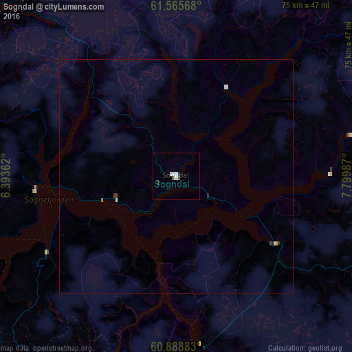
Analysis of Sogndal night lights 2016
Square area 10x10 km:
 1.45%
1.45%90-99
1.03%80-89
0%70-79
0%60-69
0%50-59
0%40-49
0.41%30-39
1.24%20-29
0%10-19
0%0-9
95.87%Square area 50x50 km:
0.09%90-99
0.08%80-89
0%70-79
0.02%60-69
0%50-59
0.02%40-49
0.03%30-39
0.09%20-29
0.05%10-19
0%0-9
99.64%Clear (daylight) street map image can be seen on geolist.org.
Map coordinates:
61° 33' 56.4" North, 6° 23' 37" East
61° 13' 44.7" North, 7° 5' 48.3" East
60° 53' 19.8" North, 7° 47' 59.5" East
Some cities around Sogndal sort by population:
• Førde
70.6 km =43.9 mi,  290°
290°
• Florø
117.3 km =72.9 mi, 290°
• Ørsta
119.4 km =74.2 mi,  334°
334°
• Indre Arna
126.1 km =78.4 mi,  224°
224°
• Voss
76.2 km =47.3 mi,  208°
208°
• Volda
115.4 km =71.7 mi, 332°
• Odda
132.4 km =82.3 mi,  193°
193°
• Hermansverk
14.1 km =8.8 mi,  249°
249°
7288345 (p: 6,700)
Sources (retrieved 2019-11-25):
» Earth at Night: Flat Maps 2012, 2016