Hermansverk night lights from space
Night Light of Hermansverk (Sogn og Fjordane) from space (Norway) Src. Average luminocity for 10x10km area is 1.0693% and for 50x50km: 0.3024%.
Analysis of Hermansverk night lights 2016
Square area 10x10 km:
 0.32%
0.32%90-99
0.11%80-89
0%70-79
0%60-69
0%50-59
0.43%40-49
0.32%30-39
0.54%20-29
0%10-19
0%0-9
98.27%Square area 50x50 km:
0.09%90-99
0.07%80-89
0.03%70-79
0%60-69
0.02%50-59
0.02%40-49
0.05%30-39
0.07%20-29
0.02%10-19
0.01%0-9
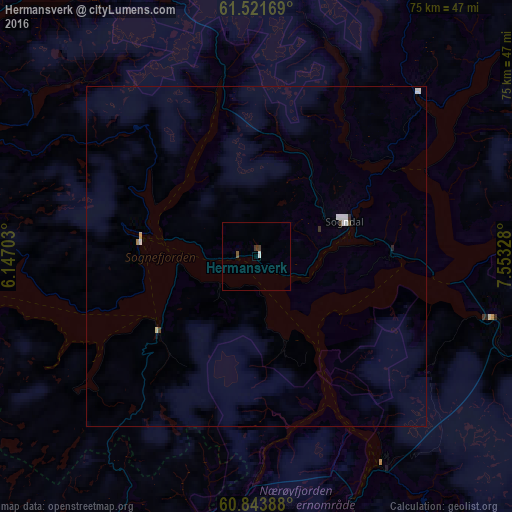
99.63%Clear (daylight) street map image can be seen on geolist.org.
Map coordinates:
61° 31' 18.1" North, 6° 8' 49.3" East
61° 11' 4.6" North, 6° 51' 0.6" East
60° 50' 38" North, 7° 33' 11.8" East
Some cities around Hermansverk sort by population:
• Bergen
120.8 km =75.1 mi,  223°
223°
• Førde
60.8 km =37.8 mi,  299°
299°
• Florø
107.2 km =66.6 mi, 295°
• Sogndal
14.1 km =8.8 mi,  69°
69°
• Ørsta
119.1 km =74 mi,  341°
341°
• Indre Arna
113.4 km =70.5 mi, 221°
• Voss
66.1 km =41.1 mi,  200°
200°
• Volda
114.5 km =71.1 mi, 338°
3152884 (p: 2,000)
Sources (retrieved 2019-11-25):
» Earth at Night: Flat Maps 2012, 2016