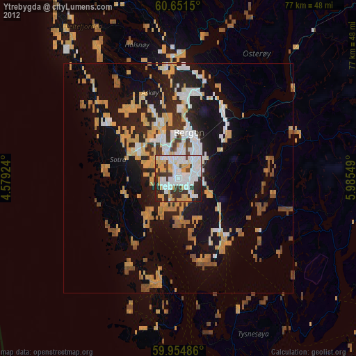
Ytrebygda night lights from space
Night Light of Ytrebygda (Hordaland) from space (Norway) Src. Average luminocity for 10x10km area is 69.0238% and for 50x50km: 14.9651%.

Analysis of Ytrebygda night lights 2016
Square area 10x10 km:
 21.65%
90-99
18.61%80-89
4.98%70-79
8.55%60-69
7.68%50-59
7.9%40-49
3.68%30-39
13.85%20-29
10.17%10-19
2.92%0-9
0%Square area 50x50 km:
2.5%90-99
2.53%80-89
0.97%70-79
1.21%60-69
1.64%50-59
3.8%40-49
2.41%30-39
2.1%20-29
4.31%10-19
9.24%0-9
69.3%Clear (daylight) street map image can be seen on geolist.org.
Map coordinates:
60° 39' 5.4" North, 4° 34' 45.3" East
60° 18' 18.1" North, 5° 16' 56.5" East
59° 57' 17.5" North, 5° 59' 7.8" East
Some cities around Ytrebygda sort by population:
• Bergen
10 km =6.2 mi,  13°
13°
• Haugesund
99.1 km =61.6 mi,  180°
180°
• Askøy
11.9 km =7.4 mi,  332°
332°
• Leirvik
59.6 km =37 mi,  168°
168°
• Kopervik
113.6 km =70.6 mi, 179°
• Indre Arna
16.3 km =10.1 mi,  39°
39°
• Voss
71.7 km =44.6 mi,  59°
59°
• Odda
74.6 km =46.4 mi,  110°
110°
6697344 (p: 24,044)
Sources (retrieved 2019-11-25):
» Earth at Night: Flat Maps 2012, 2016