Odda night lights from space
Night Light of Odda (Hordaland) from space (Norway) Src. Average luminocity for 10x10km area is 4.845% and for 50x50km: 0.2908%.
Analysis of Odda night lights 2016
Square area 10x10 km:
 1.34%
1.34%90-99
1.55%80-89
0%70-79
0%60-69
0.41%50-59
0%40-49
0.83%30-39
0.41%20-29
0.41%10-19
0.31%0-9
94.73%Square area 50x50 km:
0.06%90-99
0.09%80-89
0%70-79
0%60-69
0.03%50-59
0.02%40-49
0.03%30-39
0.05%20-29
0.03%10-19
0.01%0-9
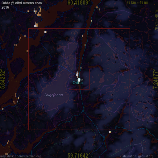
99.66%Clear (daylight) street map image can be seen on geolist.org.
Map coordinates:
60° 25' 5.1" North, 5° 50' 33.1" East
60° 4' 8.8" North, 6° 32' 44.3" East
59° 42' 59.1" North, 7° 14' 55.6" East
Some cities around Odda sort by population:
• Bergen
76.4 km =47.5 mi,  298°
298°
• Haugesund
102.1 km =63.4 mi,  224°
224°
• Ytrebygda
74.6 km =46.4 mi,  290°
290°
• Askøy
83.7 km =52 mi, 296°
• Leirvik
66.5 km =41.3 mi,  241°
241°
• Kopervik
111.7 km =69.4 mi, 218°
• Indre Arna
70.9 km =44.1 mi, 303°
• Voss
62.6 km =38.9 mi,  353°
353°
3143830 (p: 5,359)
Sources (retrieved 2019-11-25):
» Earth at Night: Flat Maps 2012, 2016