Førde night lights from space
Night Light of Førde (Sogn og Fjordane) from space (Norway) Src. Average luminocity for 10x10km area is 10.7029% and for 50x50km: 0.5679%.
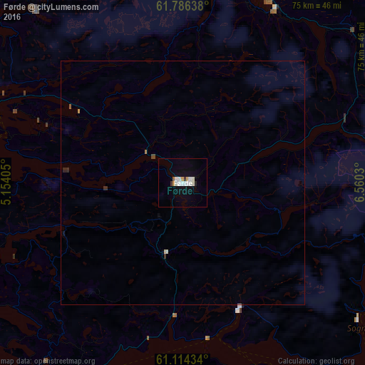
Analysis of Førde night lights 2016
Square area 10x10 km:
 2.48%
2.48%90-99
3.73%80-89
0.41%70-79
0.83%60-69
0%50-59
0.41%40-49
0%30-39
0.83%20-29
0.41%10-19
3%0-9
87.89%Square area 50x50 km:
0.1%90-99
0.17%80-89
0.03%70-79
0.05%60-69
0.02%50-59
0.03%40-49
0.04%30-39
0.08%20-29
0.06%10-19
0.14%0-9
99.28%Clear (daylight) street map image can be seen on geolist.org.
Map coordinates:
61° 47' 11" North, 5° 9' 14.6" East
61° 27' 7.8" North, 5° 51' 25.8" East
61° 6' 51.6" North, 6° 33' 37.1" East
Some cities around Førde sort by population:
• Ålesund
114.5 km =71.1 mi,  7°
7°
• Florø
46.7 km =29 mi,  290°
290°
• Sogndal
70.6 km =43.9 mi,  110°
110°
• Ørsta
84.3 km =52.4 mi, 9°
• Voss
96.4 km =59.9 mi,  161°
161°
• Volda
78 km =48.5 mi, 8°
• Ulsteinvik
99.1 km =61.6 mi,  359°
359°
• Hermansverk
60.8 km =37.8 mi,  119°
119°
3156804 (p: 8,510)
Sources (retrieved 2019-11-25):
» Earth at Night: Flat Maps 2012, 2016