Corn Island night lights from space
Night Light of Corn Island (South Caribbean Coast) from space (Nicaragua) Src. Average luminocity for 10x10km area is 0.8616% and for 50x50km: 0.0351%.
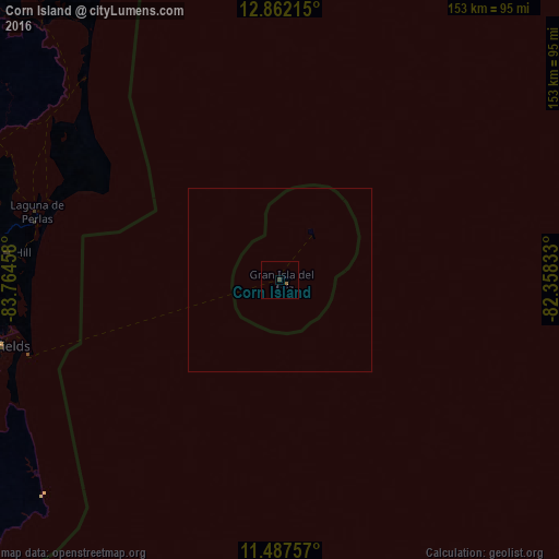
Analysis of Corn Island night lights 2016
Square area 10x10 km:
 0%
0%90-99
0%80-89
0%70-79
0%60-69
0.83%50-59
0%40-49
0%30-39
0.83%20-29
0%10-19
0%0-9
98.35%Square area 50x50 km:
0%90-99
0%80-89
0%70-79
0%60-69
0.03%50-59
0%40-49
0%30-39
0.03%20-29
0%10-19
0%0-9
99.93%Clear (daylight) street map image can be seen on geolist.org.
Map coordinates:
12° 51' 43.7" North, 83° 45' 52.5" West
12° 10' 32.7" North, 83° 3' 41.2" West
11° 29' 15.3" North, 82° 21' 30" West
Some cities around Corn Island sort by population:
• San Andrés, CO
154 km =95.7 mi,  72°
72°
• Nueva Guinea
161.1 km =100.1 mi,  250°
250°
• Bluefields
78.4 km =48.7 mi,  256°
256°
• Puerto Cabezas
209.8 km =130.4 mi,  350°
350°
• El Rama
125.9 km =78.2 mi,  269°
269°
• Villa Sandino
210.5 km =130.8 mi, 266°
• Laguna de Perlas
68.8 km =42.8 mi,  285°
285°
• Santo Domingo
219.8 km =136.6 mi, 272°
3620266 (p: 8,011)
Sources (retrieved 2019-11-25):
» Earth at Night: Flat Maps 2012, 2016