Villa Sandino night lights from space
Night Light of Villa Sandino (Chontales) from space (Nicaragua) Src. Average luminocity for 10x10km area is 1.0331% and for 50x50km: 0.4151%.
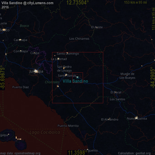
Analysis of Villa Sandino night lights 2016
Square area 10x10 km:
 0%
0%90-99
0.83%80-89
0%70-79
0%60-69
0%50-59
0%40-49
0%30-39
0%20-29
0.83%10-19
0%0-9
98.35%Square area 50x50 km:
0%90-99
0.08%80-89
0.05%70-79
0.1%60-69
0.07%50-59
0.1%40-49
0.03%30-39
0.11%20-29
0.07%10-19
0.07%0-9
99.33%Clear (daylight) street map image can be seen on geolist.org.
Map coordinates:
12° 44' 6.1" North, 85° 41' 48.3" West
12° 2' 53.9" North, 84° 59' 37" West
11° 21' 35.3" North, 84° 17' 25.8" West
Some cities around Villa Sandino sort by population:
• Nueva Guinea
70.9 km =44.1 mi,  124°
124°
• Juigalpa
40.8 km =25.4 mi,  279°
279°
• Camoapa
67.6 km =42 mi,  303°
303°
• Santo Tomás
10.8 km =6.7 mi, 282°
• Acoyapa
21.2 km =13.2 mi,  245°
245°
• San Lorenzo
81.8 km =50.8 mi, 296°
• Santo Domingo
25.9 km =16.1 mi,  338°
338°
• El Ayote
35.6 km =22.1 mi, 296°
3615813 (p: 7,799)
Sources (retrieved 2019-11-25):
» Earth at Night: Flat Maps 2012, 2016