Laguna de Perlas night lights from space
Night Light of Laguna de Perlas (South Caribbean Coast) from space (Nicaragua) Src. Average luminocity for 10x10km area is 0.5186% and for 50x50km: 0.0397%.
Analysis of Laguna de Perlas night lights 2016
Square area 10x10 km:
 0%
0%90-99
0%80-89
0%70-79
0%60-69
0%50-59
0%40-49
0%30-39
0.83%20-29
0.83%10-19
0%0-9
98.35%Square area 50x50 km:
0%90-99
0%80-89
0%70-79
0%60-69
0%50-59
0%40-49
0%30-39
0.06%20-29
0.08%10-19
0%0-9
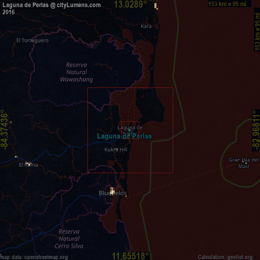
99.87%Clear (daylight) street map image can be seen on geolist.org.
Map coordinates:
13° 1' 44" North, 84° 22' 27.7" West
12° 20' 34.6" North, 83° 40' 16.4" West
11° 39' 18.6" North, 82° 58' 5.2" West
Some cities around Laguna de Perlas sort by population:
• Nueva Guinea
112.2 km =69.7 mi,  229°
229°
• Bluefields
38 km =23.6 mi,  195°
195°
• El Rama
63 km =39.1 mi,  251°
251°
• Santo Tomás
157.2 km =97.7 mi,  258°
258°
• Corn Island
68.8 km =42.8 mi,  105°
105°
• Bocana de Paiwas
165 km =102.5 mi,  287°
287°
• Villa Sandino
147.4 km =91.6 mi, 257°
• Santo Domingo
153.5 km =95.4 mi,  266°
266°
3618522 (p: 6,809)
Sources (retrieved 2019-11-25):
» Earth at Night: Flat Maps 2012, 2016