Santo Domingo night lights from space
Night Light of Santo Domingo (Chontales) from space (Nicaragua) Src. Average luminocity for 10x10km area is 0.9587% and for 50x50km: 0.3434%.
Analysis of Santo Domingo night lights 2016
Square area 10x10 km:
 0%
0%90-99
0%80-89
0%70-79
0.83%60-69
0%50-59
0%40-49
0%30-39
0.83%20-29
0%10-19
0%0-9
98.35%Square area 50x50 km:
0%90-99
0.08%80-89
0.02%70-79
0.1%60-69
0.07%50-59
0.07%40-49
0.03%30-39
0.08%20-29
0.07%10-19
0.03%0-9
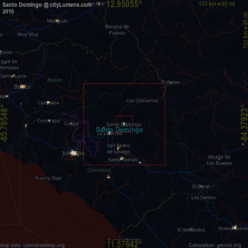
99.46%Clear (daylight) street map image can be seen on geolist.org.
Map coordinates:
12° 57' 2" North, 85° 47' 7.7" West
12° 15' 51.8" North, 85° 4' 56.5" West
11° 34' 35.1" North, 84° 22' 45.2" West
Some cities around Santo Domingo sort by population:
• Juigalpa
35.3 km =21.9 mi,  240°
240°
• Boaco
66.7 km =41.4 mi,  290°
290°
• Camoapa
48.6 km =30.2 mi, 285°
• Acoyapa
34.1 km =21.2 mi,  196°
196°
• San Lorenzo
64.7 km =40.2 mi,  281°
281°
• Bocana de Paiwas
58.1 km =36.1 mi,  355°
355°
• Villa Sandino
25.9 km =16.1 mi,  158°
158°
• El Ayote
23.7 km =14.7 mi,  249°
249°
3616356 (p: 5,827)
Sources (retrieved 2019-11-25):
» Earth at Night: Flat Maps 2012, 2016