Bluefields night lights from space
Night Light of Bluefields (South Caribbean Coast) from space (Nicaragua) Src. Average luminocity for 10x10km area is 6.9711% and for 50x50km: 0.3052%.
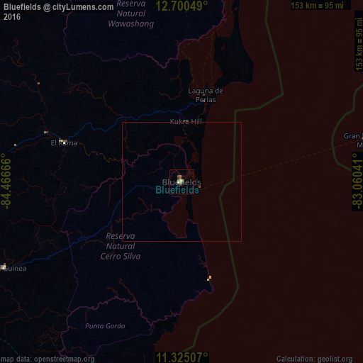
Analysis of Bluefields night lights 2016
Square area 10x10 km:
 0%
0%90-99
1.65%80-89
0.41%70-79
1.45%60-69
1.86%50-59
1.24%40-49
0.62%30-39
1.86%20-29
0%10-19
0.83%0-9
90.08%Square area 50x50 km:
0%90-99
0.07%80-89
0.02%70-79
0.06%60-69
0.08%50-59
0.05%40-49
0.06%30-39
0.08%20-29
0%10-19
0.03%0-9
99.56%Clear (daylight) street map image can be seen on geolist.org.
Map coordinates:
12° 42' 1.8" North, 84° 27' 60" West
12° 0' 49.2" North, 83° 45' 48.7" West
11° 19' 30.3" North, 83° 3' 37.5" West
Some cities around Bluefields sort by population:
• Nueva Guinea
83.6 km =51.9 mi,  244°
244°
• El Rama
52.2 km =32.4 mi,  288°
288°
• Santo Tomás
144.4 km =89.7 mi,  272°
272°
• San Carlos
148.3 km =92.1 mi,  228°
228°
• Corn Island
78.4 km =48.7 mi,  76°
76°
• Villa Sandino
133.8 km =83.1 mi, 271°
• Laguna de Perlas
38 km =23.6 mi,  15°
15°
• Santo Domingo
146 km =90.7 mi,  281°
281°
3620680 (p: 44,373)
Sources (retrieved 2019-11-25):
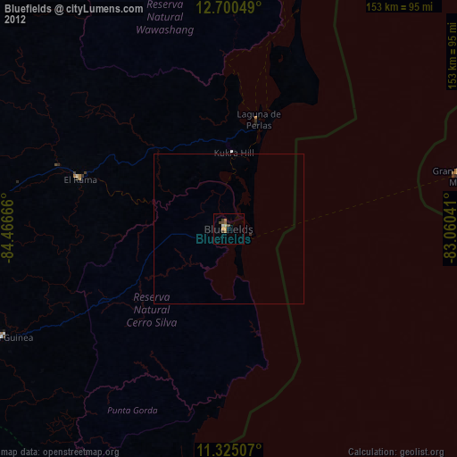
» Earth at Night: Flat Maps 2012, 2016