Puerto Cabezas night lights from space
Night Light of Puerto Cabezas (North Caribbean Coast) from space (Nicaragua) Src. Average luminocity for 10x10km area is 15.4026% and for 50x50km: 0.6481%.
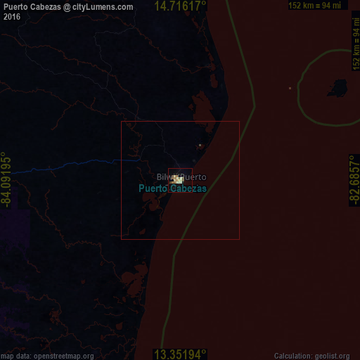
Analysis of Puerto Cabezas night lights 2016
Square area 10x10 km:
 0%
0%90-99
4.33%80-89
3.46%70-79
0.65%60-69
4.55%50-59
2.16%40-49
0.43%30-39
1.52%20-29
0.22%10-19
1.3%0-9
81.39%Square area 50x50 km:
0%90-99
0.17%80-89
0.13%70-79
0.03%60-69
0.18%50-59
0.08%40-49
0.02%30-39
0.09%20-29
0.01%10-19
0.05%0-9
99.25%Clear (daylight) street map image can be seen on geolist.org.
Map coordinates:
14° 42' 58.2" North, 84° 5' 31" West
14° 2' 6.3" North, 83° 23' 19.8" West
13° 21' 7" North, 82° 41' 8.5" West
Some cities around Puerto Cabezas sort by population:
• Bluefields
228.4 km =141.9 mi,  190°
190°
• El Rama
227.1 km =141.1 mi,  203°
203°
• Río Blanco
233.1 km =144.8 mi,  238°
238°
• Siuna
153.6 km =95.4 mi,  257°
257°
• Corn Island
209.8 km =130.4 mi,  170°
170°
• Laguna de Perlas
190.6 km =118.4 mi, 189°
• Waspán
100.6 km =62.5 mi,  321°
321°
• Bonanza
129.7 km =80.6 mi,  269°
269°
3617154 (p: 33,635)
Sources (retrieved 2019-11-25):
» Earth at Night: Flat Maps 2012, 2016