Nueva Guinea night lights from space
Night Light of Nueva Guinea (South Caribbean Coast) from space (Nicaragua) Src. Average luminocity for 10x10km area is 4.3285% and for 50x50km: 0.1775%.
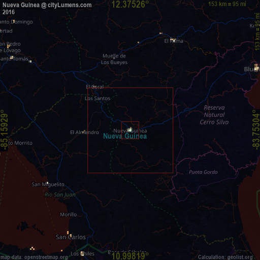
Analysis of Nueva Guinea night lights 2016
Square area 10x10 km:
 0%
0%90-99
1.86%80-89
0.62%70-79
0%60-69
0.83%50-59
0%40-49
0.83%30-39
1.65%20-29
0%10-19
0%0-9
94.21%Square area 50x50 km:
0%90-99
0.08%80-89
0.03%70-79
0%60-69
0.03%50-59
0%40-49
0.03%30-39
0.07%20-29
0%10-19
0%0-9
99.76%Clear (daylight) street map image can be seen on geolist.org.
Map coordinates:
12° 22' 30.9" North, 85° 9' 33.4" West
11° 41' 15.3" North, 84° 27' 22.2" West
10° 59' 53.5" North, 83° 45' 10.9" West
Some cities around Nueva Guinea sort by population:
• Bluefields
83.6 km =51.9 mi,  64°
64°
• El Rama
58.5 km =36.4 mi,  26°
26°
• Santo Tomás
81 km =50.3 mi,  301°
301°
• San Carlos
71.9 km =44.7 mi,  209°
209°
• Acoyapa
83.9 km =52.1 mi,  291°
291°
• Villa Sandino
70.9 km =44.1 mi, 304°
• Santo Domingo
93.6 km =58.2 mi,  313°
313°
• El Ayote
106.3 km =66.1 mi, 301°
3617459 (p: 52,929)
Sources (retrieved 2019-11-25):
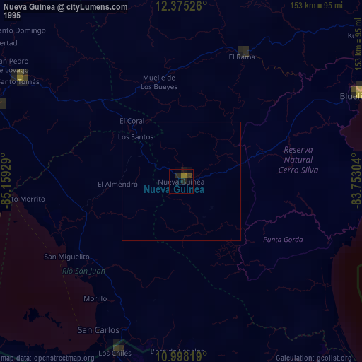
» NASA, Earths city lights 1995
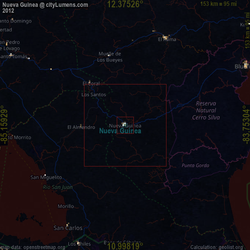
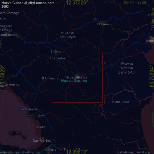
» NASA city lights 2003
» Earth at Night: Flat Maps 2012, 2016