El Rama night lights from space
Night Light of El Rama (South Caribbean Coast) from space (Nicaragua) Src. Average luminocity for 10x10km area is 3.0021% and for 50x50km: 0.189%.

Analysis of El Rama night lights 2016
Square area 10x10 km:
 0%
0%90-99
0.83%80-89
0%70-79
0%60-69
0.83%50-59
0%40-49
2.48%30-39
0%20-29
0.41%10-19
0.41%0-9
95.04%Square area 50x50 km:
0%90-99
0.03%80-89
0%70-79
0%60-69
0.1%50-59
0%40-49
0.12%30-39
0.03%20-29
0.03%10-19
0.02%0-9
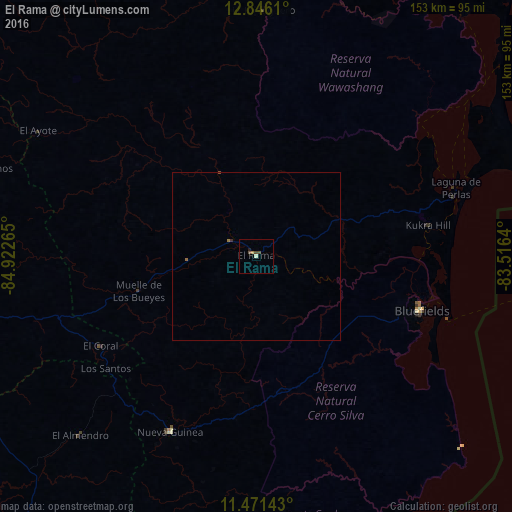
99.68%Clear (daylight) street map image can be seen on geolist.org.
Map coordinates:
12° 50' 46" North, 84° 55' 21.5" West
12° 9' 34.7" North, 84° 13' 10.3" West
11° 28' 17.1" North, 83° 30' 59" West
Some cities around El Rama sort by population:
• Nueva Guinea
58.5 km =36.4 mi,  206°
206°
• Bluefields
52.2 km =32.4 mi,  108°
108°
• Santo Tomás
95.2 km =59.2 mi,  263°
263°
• Acoyapa
105.6 km =65.6 mi, 258°
• Villa Sandino
85.1 km =52.9 mi, 261°
• Laguna de Perlas
63 km =39.1 mi,  71°
71°
• Santo Domingo
94.5 km =58.7 mi,  277°
277°
• El Ayote
116.1 km =72.1 mi,  271°
271°
3617095 (p: 20,456)
Sources (retrieved 2019-11-25):
» Earth at Night: Flat Maps 2012, 2016