San Andrés night lights from space
Night Light of San Andrés (San Andres y Providencia) from space (Colombia) Src. Average luminocity for 10x10km area is 20.6688% and for 50x50km: 1.1937%.
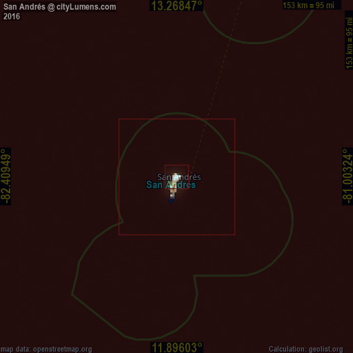
Analysis of San Andrés night lights 2016
Square area 10x10 km:
 3.25%
3.25%90-99
4.98%80-89
2.16%70-79
1.73%60-69
2.38%50-59
1.52%40-49
2.16%30-39
1.73%20-29
2.81%10-19
17.1%0-9
60.17%Square area 50x50 km:
0.13%90-99
0.23%80-89
0.12%70-79
0.09%60-69
0.25%50-59
0.08%40-49
0.08%30-39
0.09%20-29
0.25%10-19
0.76%0-9
97.9%Clear (daylight) street map image can be seen on geolist.org.
Map coordinates:
13° 16' 6.5" North, 82° 24' 34.2" West
12° 34' 59.4" North, 81° 42' 22.9" West
11° 53' 45.7" North, 81° 0' 11.7" West
Some cities around San Andrés sort by population:
• Limón, CR
322.7 km =200.5 mi,  206°
206°
• Nueva Guinea, NI
315.1 km =195.8 mi,  251°
251°
• Bluefields, NI
232.3 km =144.3 mi, 254°
• Puerto Cabezas, NI
243.3 km =151.2 mi,  311°
311°
• El Rama, NI
277 km =172.1 mi,  260°
260°
• Corn Island, NI
154 km =95.7 mi, 252°
• Laguna de Perlas, NI
215 km =133.6 mi, 262°
• Pocora, CR
338.6 km =210.4 mi,  217°
217°
3670218 (p: 58,257)
Sources (retrieved 2019-11-25):
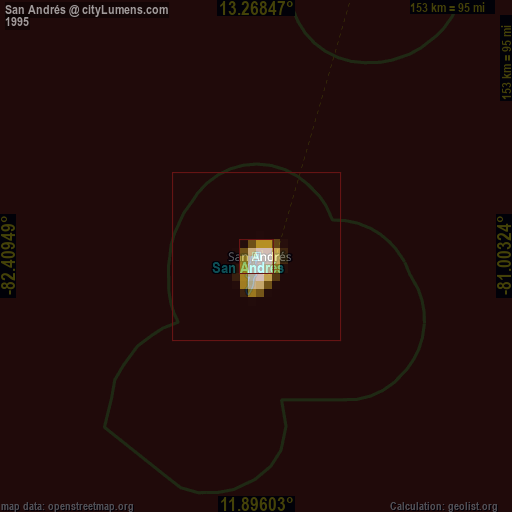
» NASA, Earths city lights 1995
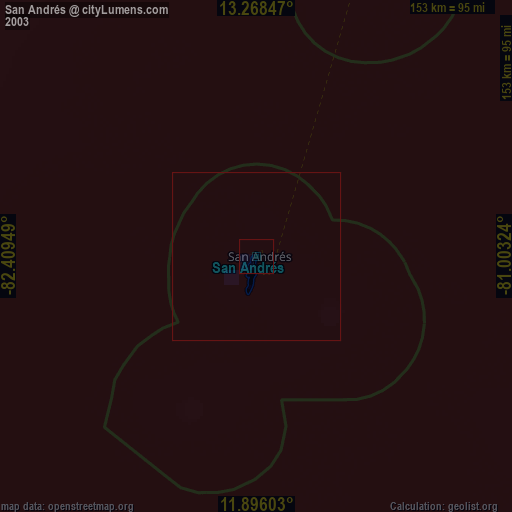
» NASA city lights 2003
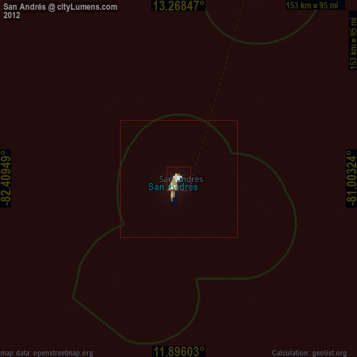
» Earth at Night: Flat Maps 2012, 2016