Okigwe night lights from space
Night Light of Okigwe (Imo) from space (Nigeria) Src. Average luminocity for 10x10km area is 0.9979% and for 50x50km: 0.0939%.
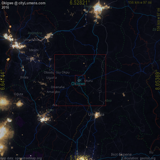
Analysis of Okigwe night lights 2016
Square area 10x10 km:
 0%
0%90-99
0%80-89
0%70-79
0%60-69
0%50-59
0%40-49
0%30-39
1.65%20-29
0.83%10-19
0.83%0-9
96.69%Square area 50x50 km:
0%90-99
0%80-89
0%70-79
0%60-69
0.03%50-59
0%40-49
0%30-39
0.1%20-29
0.07%10-19
0.07%0-9
99.73%Clear (daylight) street map image can be seen on geolist.org.
Map coordinates:
6° 31' 41.6" North, 6° 38' 50.8" East
5° 49' 45" North, 7° 21' 2" East
5° 7' 45.3" North, 8° 3' 13.3" East
Some cities around Okigwe sort by population:
• Umuahia
37.4 km =23.2 mi,  154°
154°
• Igbo-Ukwu
42.1 km =26.2 mi,  299°
299°
• Uga
32.3 km =20.1 mi,  291°
291°
• Nkwerre
28.4 km =17.6 mi,  254°
254°
• Awgu
30.5 km =19 mi,  27°
27°
• Orlu
35.1 km =21.8 mi,  263°
263°
• Iho
39.1 km =24.3 mi,  225°
225°
• Ake-Eze
37.3 km =23.2 mi,  74°
74°
2327143 (p: 115,499)
Sources (retrieved 2019-11-25):
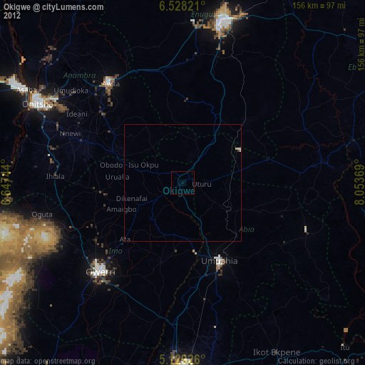
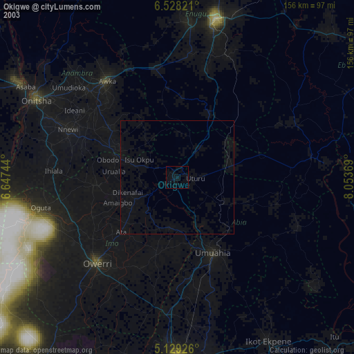
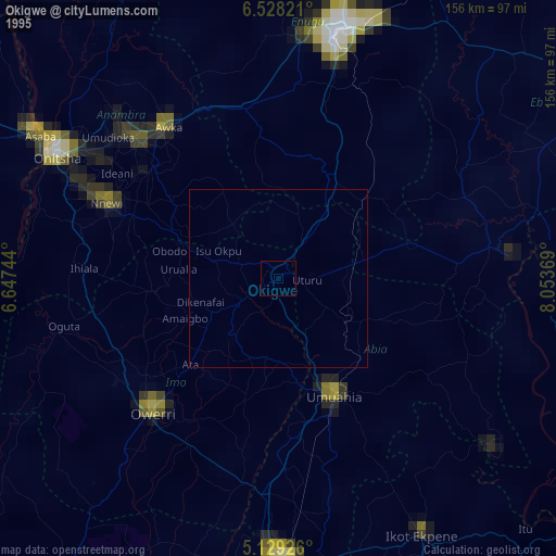
» NASA, Earths city lights 1995
» NASA city lights 2003
» Earth at Night: Flat Maps 2012, 2016