Nkwerre night lights from space
Night Light of Nkwerre (Imo) from space (Nigeria) Src. Average luminocity for 10x10km area is 0.1736% and for 50x50km: 0.7518%.
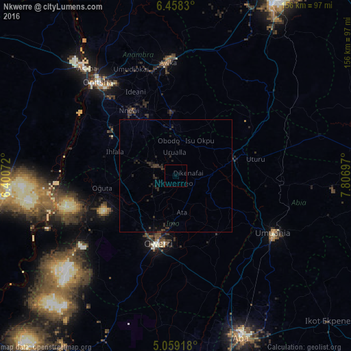
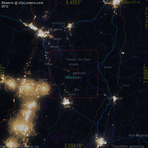
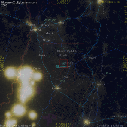
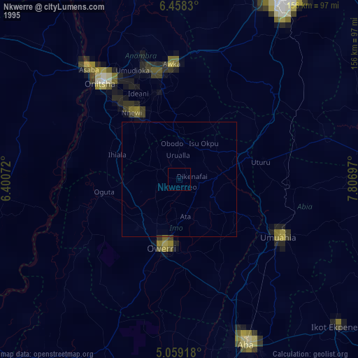
Analysis of Nkwerre night lights 2016
Square area 10x10 km:
 0%
0%90-99
0%80-89
0%70-79
0%60-69
0%50-59
0%40-49
0%30-39
0.21%20-29
0.21%10-19
0%0-9
99.59%Square area 50x50 km:
0%90-99
0%80-89
0%70-79
0%60-69
0%50-59
0%40-49
0.15%30-39
0.57%20-29
0.86%10-19
0.81%0-9
97.61%Clear (daylight) street map image can be seen on geolist.org.
Map coordinates:
6° 27' 29.9" North, 6° 24' 2.6" East
5° 45' 33" North, 7° 6' 13.8" East
5° 3' 33" North, 7° 48' 25.1" East
Some cities around Nkwerre sort by population:
• Owerri
31.6 km =19.6 mi,  194°
194°
• Okigwe
28.4 km =17.6 mi,  74°
74°
• Ihiala
29 km =18 mi,  291°
291°
• Igbo-Ukwu
30.2 km =18.8 mi,  342°
342°
• Uga
19.8 km =12.3 mi,  352°
352°
• Orlu
8.6 km =5.3 mi,  298°
298°
• Orodo
17.7 km =11 mi,  206°
206°
• Iho
19.7 km =12.2 mi,  181°
181°
2328790 (p: 62,973)
Sources (retrieved 2019-11-25):
» NASA, Earths city lights 1995
» NASA city lights 2003
» Earth at Night: Flat Maps 2012, 2016