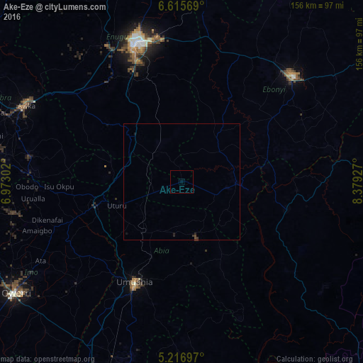
Ake-Eze night lights from space
Night Light of Ake-Eze (Enugu) from space (Nigeria) Src. Average luminocity for 10x10km area is 0% and for 50x50km: 0.1144%.
Analysis of Ake-Eze night lights 2016
Square area 10x10 km:
100  0%
0%
90-99 0%
80-89 0%
70-79 0%
60-69 0%
50-59 0%
40-49 0%
30-39 0%
20-29 0%
10-19 0%
0-9 100%
0%90-99
0%80-89
0%70-79
0%60-69
0%50-59
0%40-49
0%30-39
0%20-29
0%10-19
0%0-9
100%Square area 50x50 km:
100 0%
90-99 0%
80-89 0%
70-79 0%
60-69 0%
50-59 0%
40-49 0.1%
30-39 0.07%
20-29 0.07%
10-19 0.1%
0-9 99.66%
0%90-99
0%80-89
0%70-79
0%60-69
0%50-59
0%40-49
0.1%30-39
0.07%20-29
0.07%10-19
0.1%0-9
99.66%Clear (daylight) street map image can be seen on geolist.org.
Map coordinates:
6° 36' 56.5" North, 6° 58' 22.9" East
5° 55' 0.4" North, 7° 40' 34.1" East
5° 13' 1.1" North, 8° 22' 45.4" East
Some cities around Ake-Eze sort by population:
• Amaigbo
22.9 km =14.2 mi,  128°
128°
• Okigwe
37.3 km =23.2 mi,  254°
254°
• Bende
40.1 km =24.9 mi,  186°
186°
• Ohafia-Ifigh
36.8 km =22.9 mi,  155°
155°
• Afikpo
28.8 km =17.9 mi,  95°
95°
• Awgu
28 km =17.4 mi,  308°
308°
• Amagunze
46.1 km =28.6 mi,  356°
356°
• Mberubu
29 km =18 mi,  349°
349°
2351156 (p: 6,537)
Sources (retrieved 2019-11-25):
» Earth at Night: Flat Maps 2012, 2016