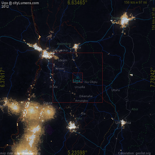
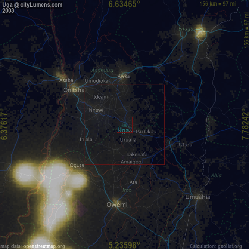
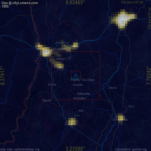
Uga night lights from space
Night Light of Uga (Anambra) from space (Nigeria) Src. Average luminocity for 10x10km area is 1.0868% and for 50x50km: 1.1837%.
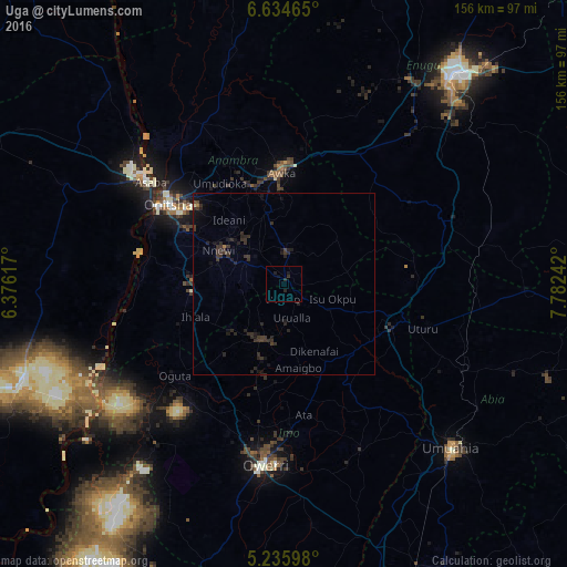
Analysis of Uga night lights 2016
Square area 10x10 km:
 0%
0%90-99
0%80-89
0%70-79
0%60-69
0%50-59
0%40-49
0%30-39
0.41%20-29
2.07%10-19
1.65%0-9
95.87%Square area 50x50 km:
0%90-99
0.01%80-89
0.03%70-79
0%60-69
0.07%50-59
0%40-49
0.15%30-39
0.99%20-29
1.34%10-19
1.03%0-9
96.39%Clear (daylight) street map image can be seen on geolist.org.
Map coordinates:
6° 38' 4.7" North, 6° 22' 34.2" East
5° 56' 8.7" North, 7° 4' 45.5" East
5° 14' 9.5" North, 7° 46' 56.7" East
Some cities around Uga sort by population:
• Nnewi
20.2 km =12.6 mi,  297°
297°
• Ihiala
25.9 km =16.1 mi,  249°
249°
• Agulu
18.4 km =11.4 mi,  353°
353°
• Igbo-Ukwu
11.2 km =7 mi,  324°
324°
• Ozubulu
25.1 km =15.6 mi,  275°
275°
• Nkwerre
19.8 km =12.3 mi,  172°
172°
• Uruobo-Okija
26.4 km =16.4 mi,  261°
261°
• Orlu
16.3 km =10.1 mi,  197°
197°
2320920 (p: 64,179)
Sources (retrieved 2019-11-25):
» NASA, Earths city lights 1995
» NASA city lights 2003
» Earth at Night: Flat Maps 2012, 2016