Awgu night lights from space
Night Light of Awgu (Enugu) from space (Nigeria) Src. Average luminocity for 10x10km area is 0.2087% and for 50x50km: 0.0624%.
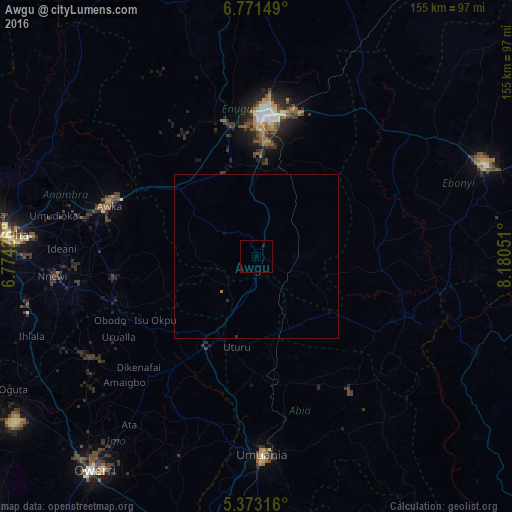
Analysis of Awgu night lights 2016
Square area 10x10 km:
100  0%
0%
90-99 0%
80-89 0%
70-79 0%
60-69 0%
50-59 0%
40-49 0%
30-39 0%
20-29 0%
10-19 0.83%
0-9 99.17%
0%90-99
0%80-89
0%70-79
0%60-69
0%50-59
0%40-49
0%30-39
0%20-29
0%10-19
0.83%0-9
99.17%Square area 50x50 km:
100 0%
90-99 0%
80-89 0%
70-79 0%
60-69 0.03%
50-59 0%
40-49 0%
30-39 0.03%
20-29 0.03%
10-19 0.05%
0-9 99.85%
0%90-99
0%80-89
0%70-79
0%60-69
0.03%50-59
0%40-49
0%30-39
0.03%20-29
0.03%10-19
0.05%0-9
99.85%Clear (daylight) street map image can be seen on geolist.org.
Map coordinates:
6° 46' 17.4" North, 6° 46' 27.3" East
6° 4' 22" North, 7° 28' 38.6" East
5° 22' 23.4" North, 8° 10' 49.8" East
Some cities around Awgu sort by population:
• Enugu
41 km =25.5 mi,  3°
3°
• Okigwe
30.5 km =19 mi,  207°
207°
• Agulu
46.1 km =28.6 mi,  273°
273°
• Uga
46.6 km =29 mi,  250°
250°
• Udi
27.7 km =17.2 mi,  346°
346°
• Amagunze
34.6 km =21.5 mi,  34°
34°
• Mberubu
20.2 km =12.6 mi,  56°
56°
• Ake-Eze
28 km =17.4 mi,  128°
128°
2348783 (p: 23,175)
Sources (retrieved 2019-11-25):
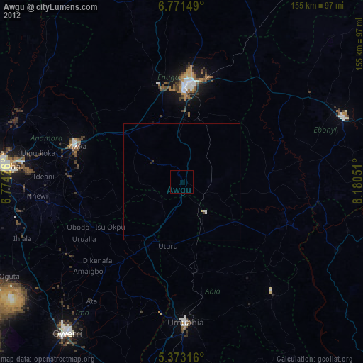
» Earth at Night: Flat Maps 2012, 2016